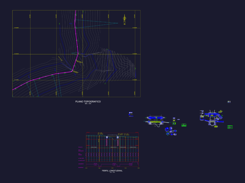
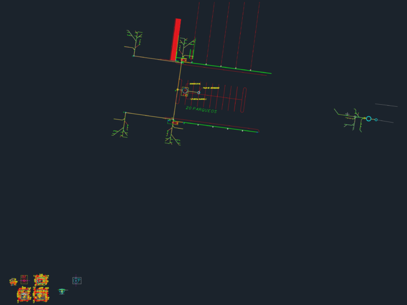
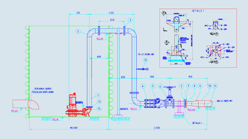
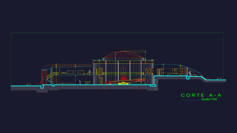
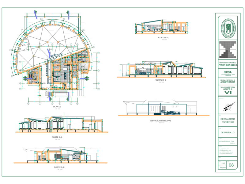
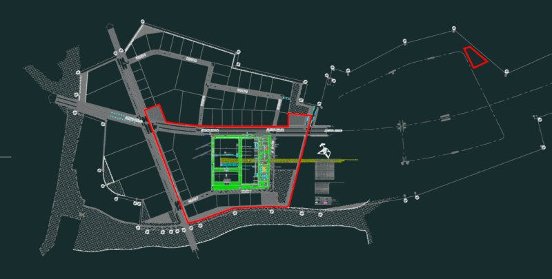
The file includes the design and calculation table for a storm sewer system and sanitary sewage or, to a small area. The file includes a map of stabilization ponds, with standard measures defined by talus slopes.
Drawing labels, details, and other text information extracted from the CAD file (Translated from Spanish):
Stabilization ponds, Storm drainage systems, Sanitary sewer pluvial, civil Engineering, Storm drainage network, Sanitary sewer network, Plane of slopes longitudesy areas of contribution, Pipe diameters plane, Pipe diameters plane, emissary, Transport sanitary storm water purification for the population of battles, Stabilization ponds, civil Engineering, Stabilization ponds, Anaerobic lagoons, Facultative ponds, Lacunae of maturation, Anaerobic lagoons, Facultative ponds, Lacunae of maturation