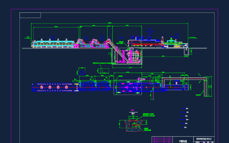
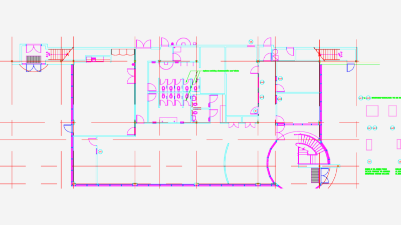
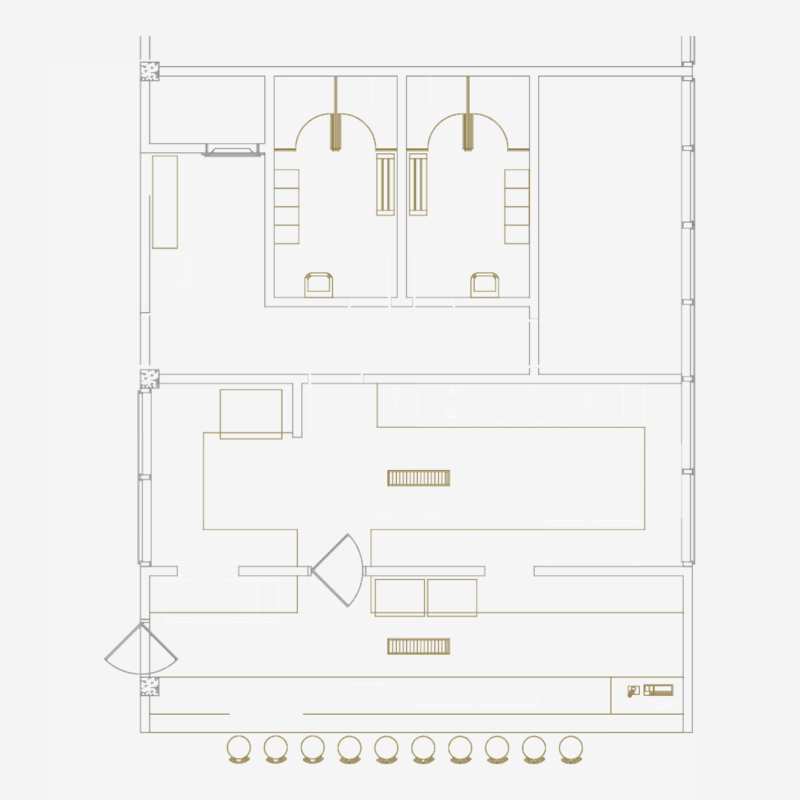
Project Overview
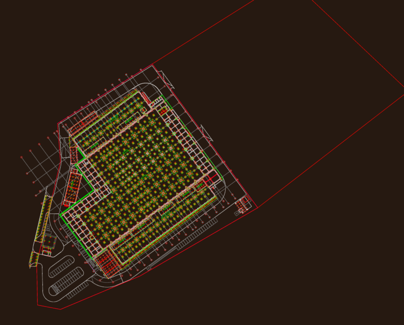
This site implementation plan depicts a comprehensive layout for a mixed-use development, likely the Dubai project referenced in the drawing metadata. The plan showcases the ground floor arrangement with detailed circulation systems, building footprints, and site infrastructure.
Key Site Elements:
– Carefully designed vehicle circulation routes with multiple access points and a prominent central roundabout
– Dedicated parking areas including PCD (Persons with Disabilities) spaces integrated throughout the site
– Multiple building structures organized around central open spaces
– Service areas and utility spaces (including gas storage area with P190 gas bottles)
– Various entrance typologies, including automatic doors, basculant gates, and fire doors (PCF)
The transportation strategy employs a hierarchical road network with primary access roads (indicated in light blue) and secondary service routes (shown in pink). Pedestrian pathways interconnect the various functions, creating a fluid transition between public and private zones.
Building accessibility has been thoughtfully addressed with elevator placements (noted as 2100 x 1100mm) and multiple entry points. The site perimeter treatment balances security requirements with aesthetic considerations, incorporating various gate types ranging from 100-600cm in width.
The implementation follows a centralized organizational concept, allowing for efficient service delivery while maintaining distinct functional zones within the complex.