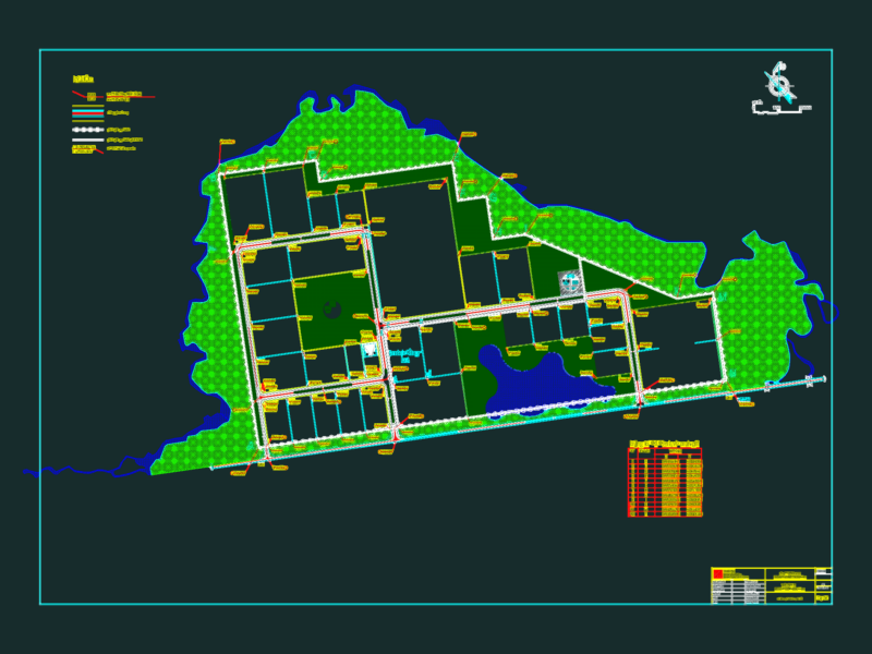
Plot Plan – Huacatambo – ANCASH – PERU
Drawing labels, details, and other text information extracted from the CAD file (Translated from Spanish):
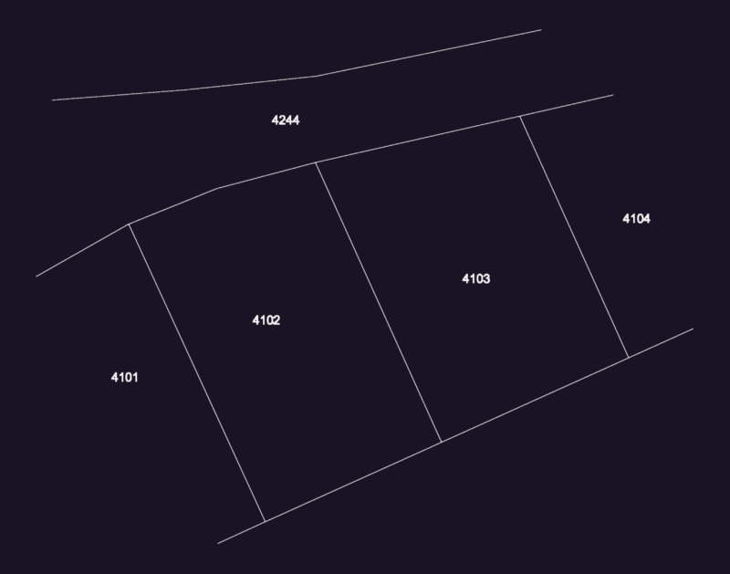
applications, living place, viv. Commerce, education, Health, other purposes, recreation, industry, symbology, Street, san jacinto road, Street, passage, Street, Street, Street, garden, Park, Street, passage, garden, Park, Street, ground uses, reservoir, of water, education, rdm, district municipality of nepeña, urban infrastructure management, sub rural urban development management, Department:, ancash, province:, of santa, district:, nepenthe, populated center:, flat:, directory:, scale:, ubigeo:, code of property:, date:, plan number:, sheet number:, produced by:, huacatambo, land uses, reviewed by., technical team, josé de la cruz quiroz, architect, chap., arq. josé de la cruz quiroz, sub manager of urban development, chap., arq. roberto briceño franco, urban infrastructure manager, chap., luis falconery montalvo, mayor, approval, approved by municipal ordinance nº, rdm, rdm, rdm, area, applications, living place, viv. Commerce, education, Health, other purposes, recreation, industry, Panamerican’s highway, jr. francisco bolognesi, jr. Buenos Aires, jr. progress, Street, passage, av. Pan American, Street, area reg. have, estate huacatanbo, Street, Street, san jacinto road, Street, passage, Street, populated center, c.p. huambacho la huaca, rustic property, huacatambo, rustic property, huacatambo, rustic property, huacatambo, land, eriazos, huacatambo, location plan, scale, agricultural land, rocky hill, archaeological area, agricultural land, of agroindustries san, agricultural land, of agroindustries, saint, of agroindustries, saint, rocky hill, rocky hill, archaeological area, archaeological area, the bell, agricultural land, of agroindustries, saint, dam, start of a new …