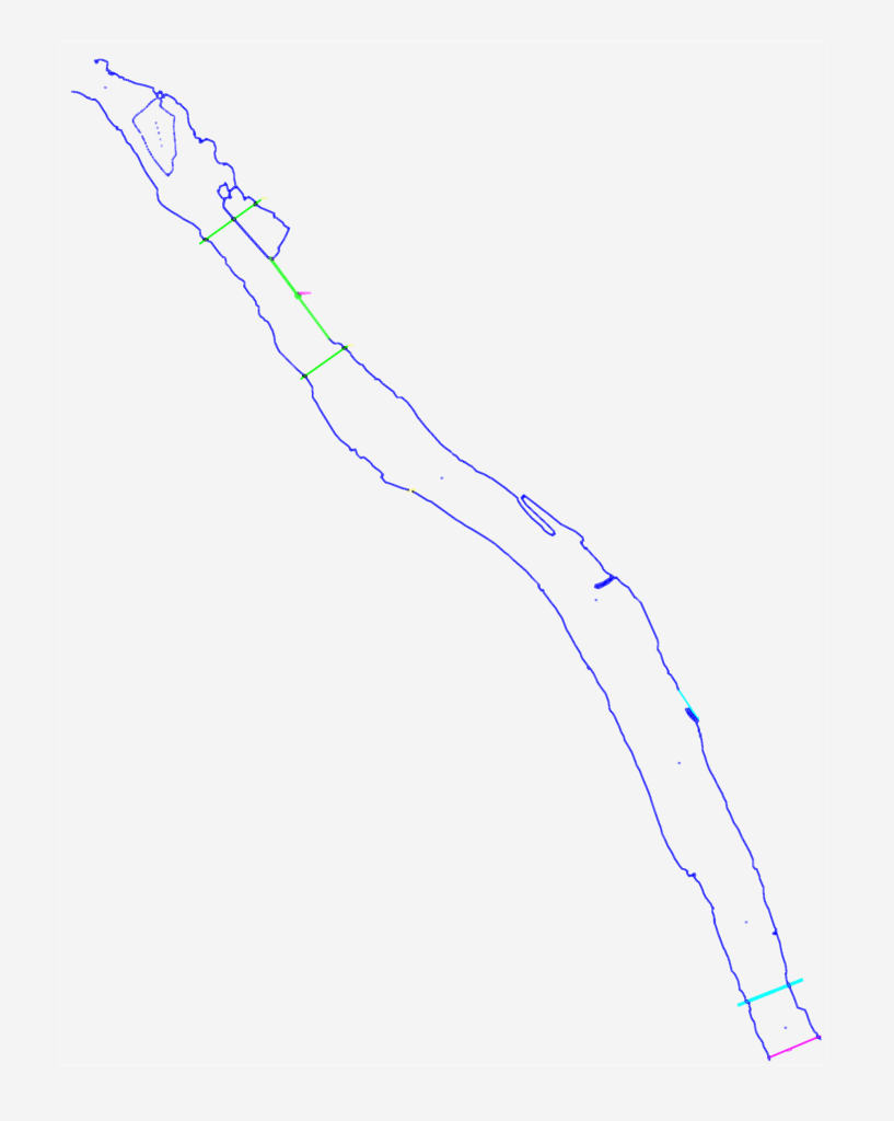
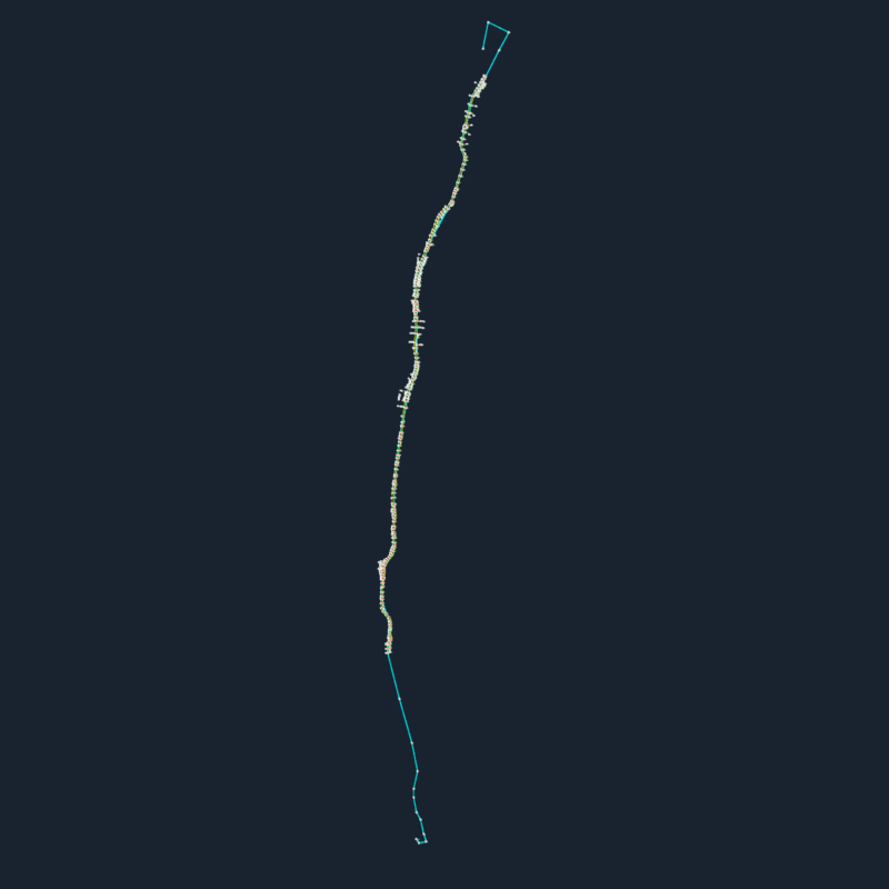
topographic survey for a narrow site corridor, looks like a stream or river bed. includes the main route layout with cross-section markers and spot elevqtions (GCD) for hydraulic calcs. we kept the standard topo layers (DGX, JZD, DLDW) for easy filtering. dwg 2004 format… works for drainage or flood study projects.
River Route Topographic Survey and Section Plan DWG