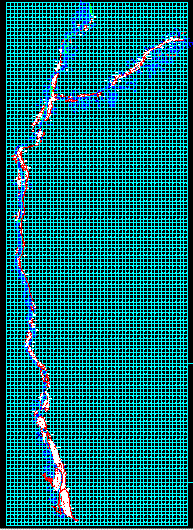
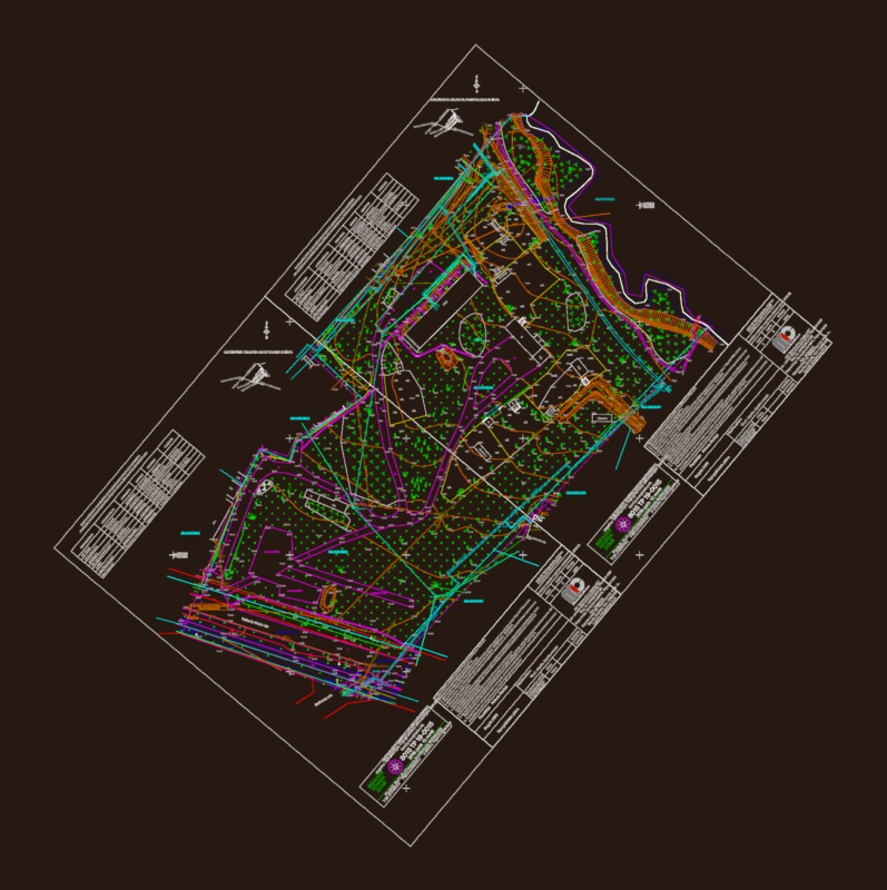
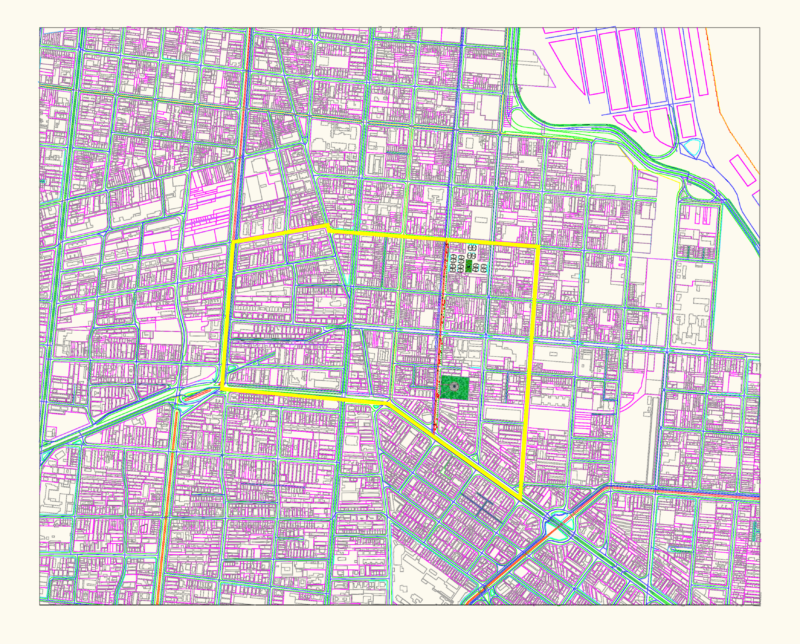
Cadastral base from the Pacific Ocean to the junction of Canyon Basin of Cotahausi, mapped with coordinates utm – – universal transversal mercator. results of peru’s combined special project of entitling rural lands and property records and the agency for formalization of informal ownership – – cofopri – pett. pett cofopri.
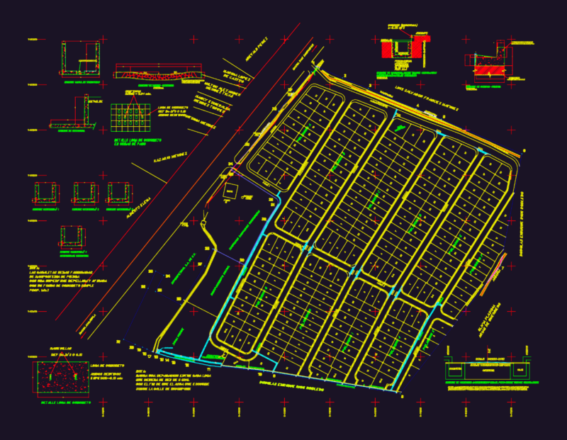
Rural Property Entitlement Formalization Project – – Ocona, Arequipa, Peru DWG Full Project for AutoCAD