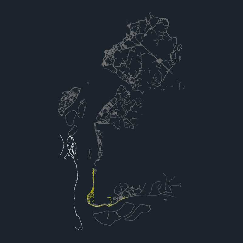
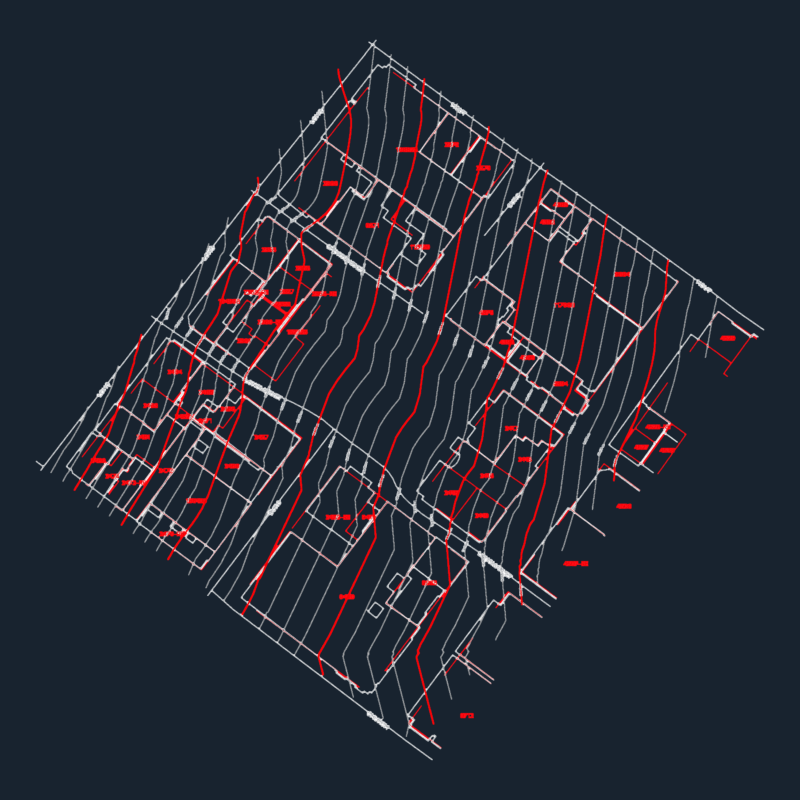
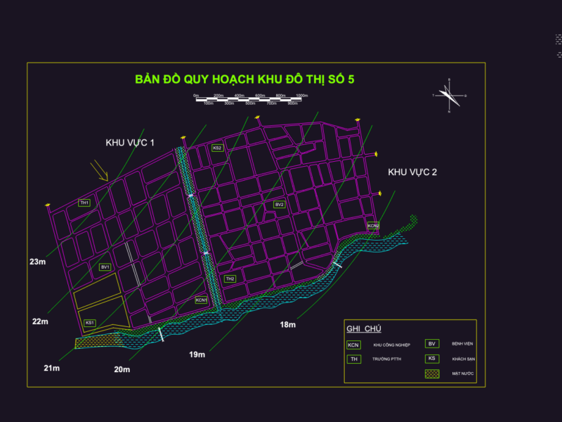
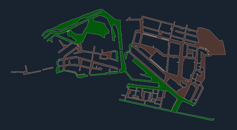
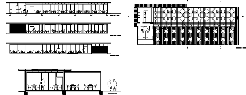
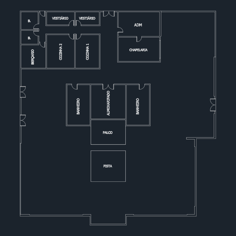
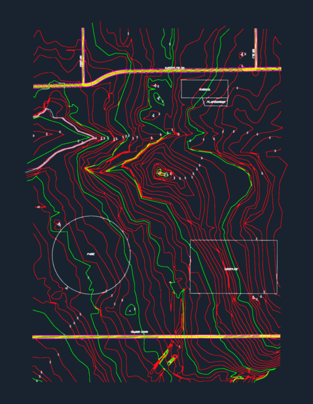
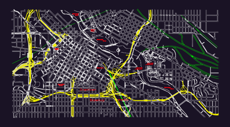
Road Maps, Ecological, Geological, Land Use, Vulnerability, Forestry, hydrological and hydrographic of protected natural areas; Turistico; Physical – Political, Agricola and others. For the development of engineering and architecture projects, by their degree of size allows us to have a better understanding of the regional situation and the many factors affecting the development of a project.
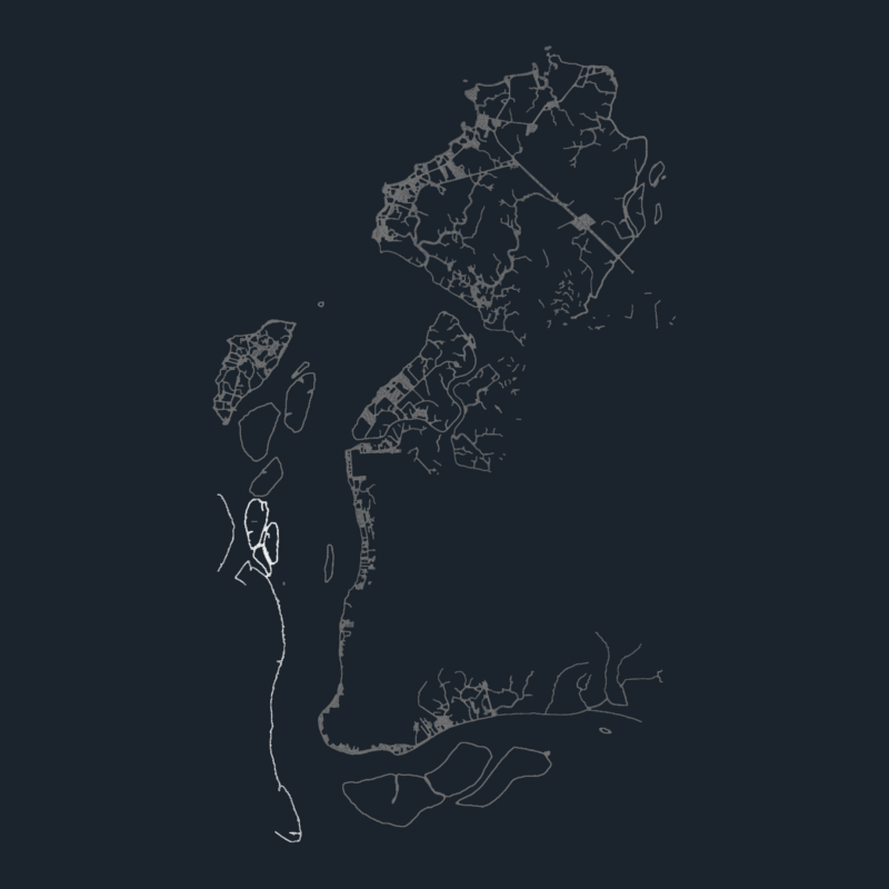
Set Of Maps Of The Region Arequipa 2D BMP Full Project Graphics