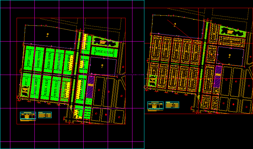
It is a residential development with social housing lotizacion lower class
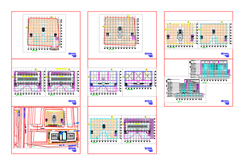
Drawing labels, details, and other text information extracted from the CAD file (Translated from Galician):
path, parking, track, central berm, path, parking, track, section, esc:, track, path, central berm, track, path, section, esc:, path, track, path, section, esc:, section, esc:, path, track, path, path, passage, path, section, esc:, table of contributions, public recreation, education, total area of land, total contributions, r.p, note: lack in contribution area, education, area perimeter ml, public recreation, area perimeter ml, public recreation, area perimeter ml, table of contributions, public recreation, education, total area of land, total contributions, r.p, r. p., summary, note: total area of contribution of public recreation lack in contribution of public recreation that is redeemed in money the municipality, total land area, total batch area, total area vias, total area contributions