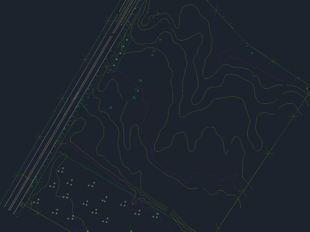
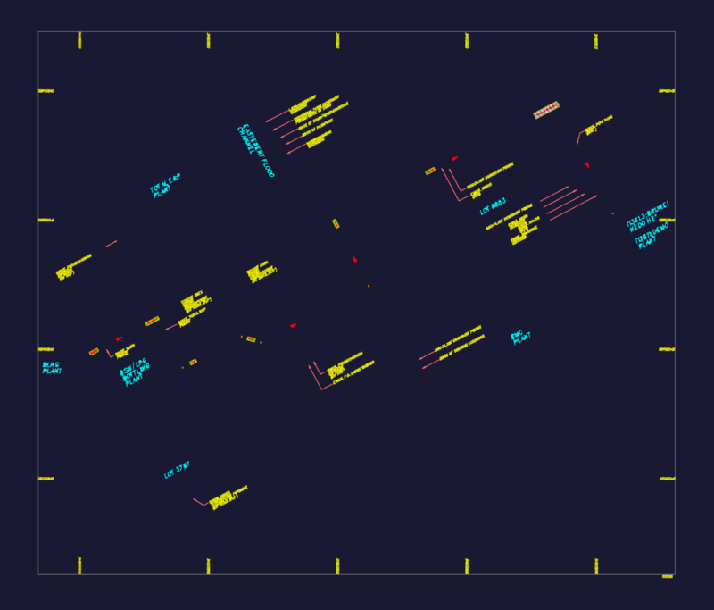
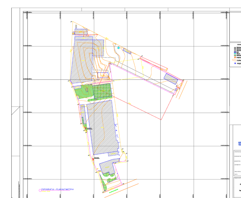
Topographic survey of an urban plot located between Rua João Chede and Rua Ciro Correia Pereira. It includes detailed contour lines and plenty of spot elevations across the terrain for site planning. We’ve mapped out the existing vegetation, especially the Araucaria trees with their specific trunk diameters like Ø0.12 and Ø0.15. Boundary lines, fences, and street infrastructure like curbs and manholes are clearly marked. There’s also a river section on one edge and a few small structures including a house and utility boxes.Note the survey points are in Portuguese
Topographic Land Survey showing Contour Lines and Existing Site Features