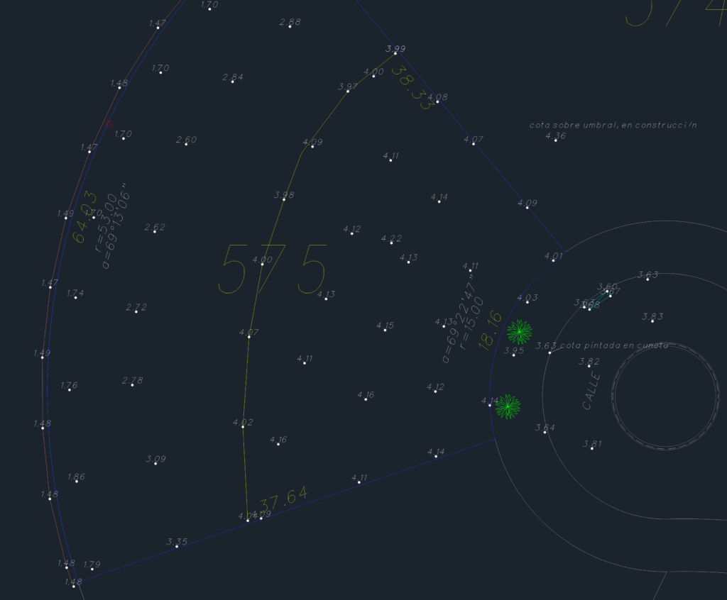
Planialtimetry drawing for lot 575 located in Santa Catalina. It shows the detailed topographic survey including spot elevations (cotas) across the property and into the street area. Includes levels for sidewalks, thresholds, and even some points painted on the gutter. The geometry for the lot boundaries is there too, incl. rafius and arc data for the curves. It’s all set up using local plane coordinates and IGM elevations. Layers cover stuff like concrete sheet piles, talus, trees, and the lagoon boundary. Good base for any site planning work or new builds on the lot.
Topographic survey and planialtimetry of residential lot 575