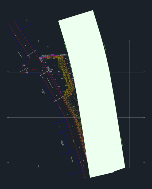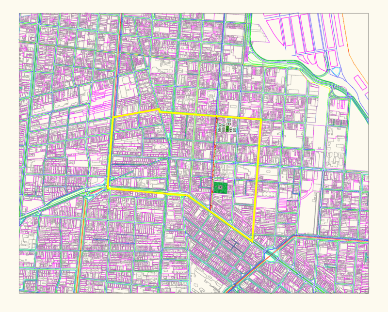
A comprehensive topographic survey of the Barrio 25 de Diciembre neighborhood in Llalli District, Melgar Province, Puno Region, Peru. The plan documents a multi-hectare urban development with detailed plot delineations, street layouts, and technical coordinates in UTM WGS 84 projection (Zone 19S).
The survey captures multiple urban features including:
– Residential blocks with individual lot dimensions and areas
– Street grid network with labeled roads (Jirones 1-9 and Avenida 1)
– Educational and recreational designated zones
– Property boundaries with owner information
– Technical survey points with precise coordinates (297424.0379E, 8346402.1730N)
Key measurements include a main intervention area of 924.43m² with a perimeter of 125.61m. The site contains areas marked for demolition (17.70m²), existing construction (119.00m²), and open space (787.72m²). The drawing includes detailed topographical data for municipal development planning purposes, specifically for the creation of multi-use local facilities for the Barrio 25 de Diciembre sector.