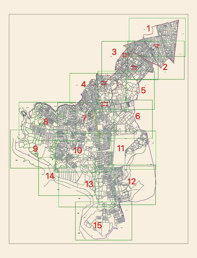
Cadastral survey layout for the Long Dien district, including An Hoa, An Binh, and An Phuoc communes. Drawing contains detailed property parcel grids across 15 sheets (typ.) with existing arterial rds. and hydraulic networks like the Ba Dap canal. Scaled for regional planning with overall extents of ~11.9km x 10.6km
Regional Cadastral Map for Long Dien District Communes