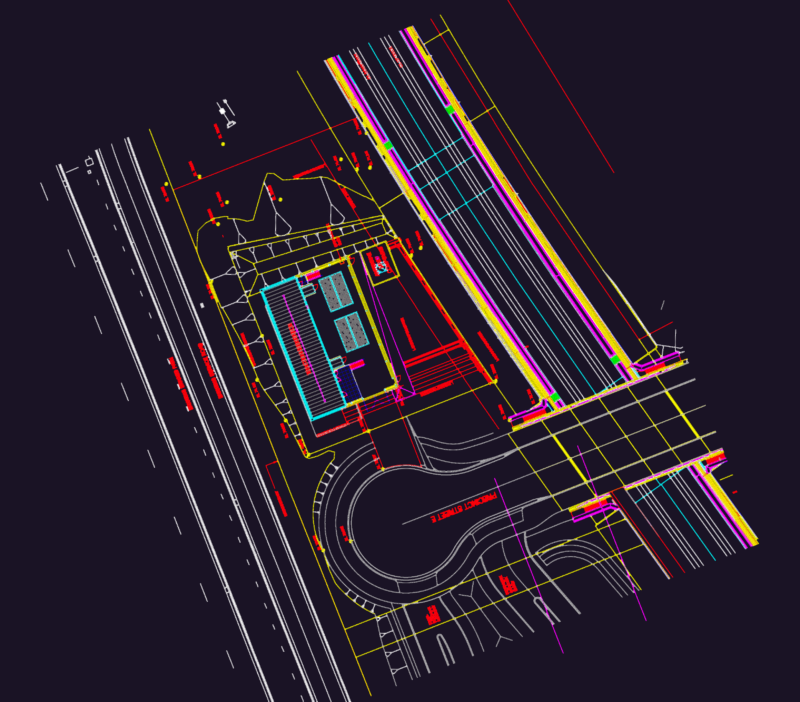
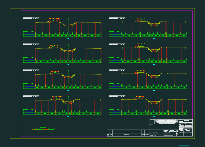
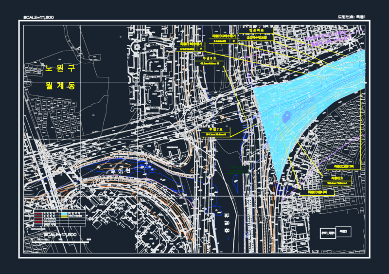
A comprehensive site survey drawing featuring multiple utility infrastructure elements including drainage, sewage, and water systems. The drawing includes various standard survey markers and infrastructure components such as manholes (MH), fire hydrants (FH), gas meters (GM), water meters (WM), and utility access points. The plan is drawn to scale in meters with pipe diameters ranging from 150mm to 2400mm. The drawing contains extensive layering for different infrastructure systems including boundary markers, bridges, retaining walls, buildings, and road markings.
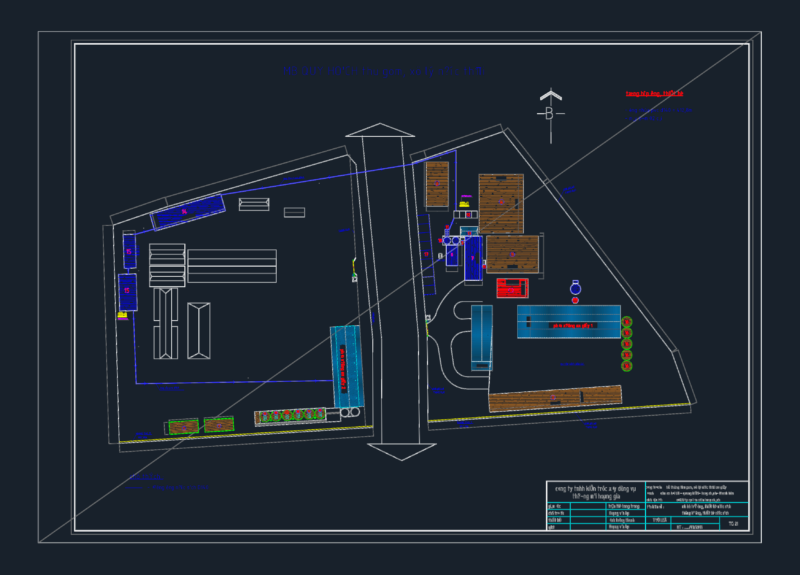
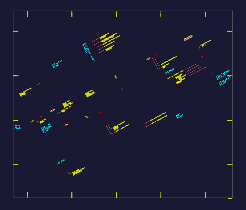
Topographic Survey Plan of Iron Pot Site with Utility infrastructure