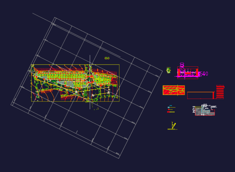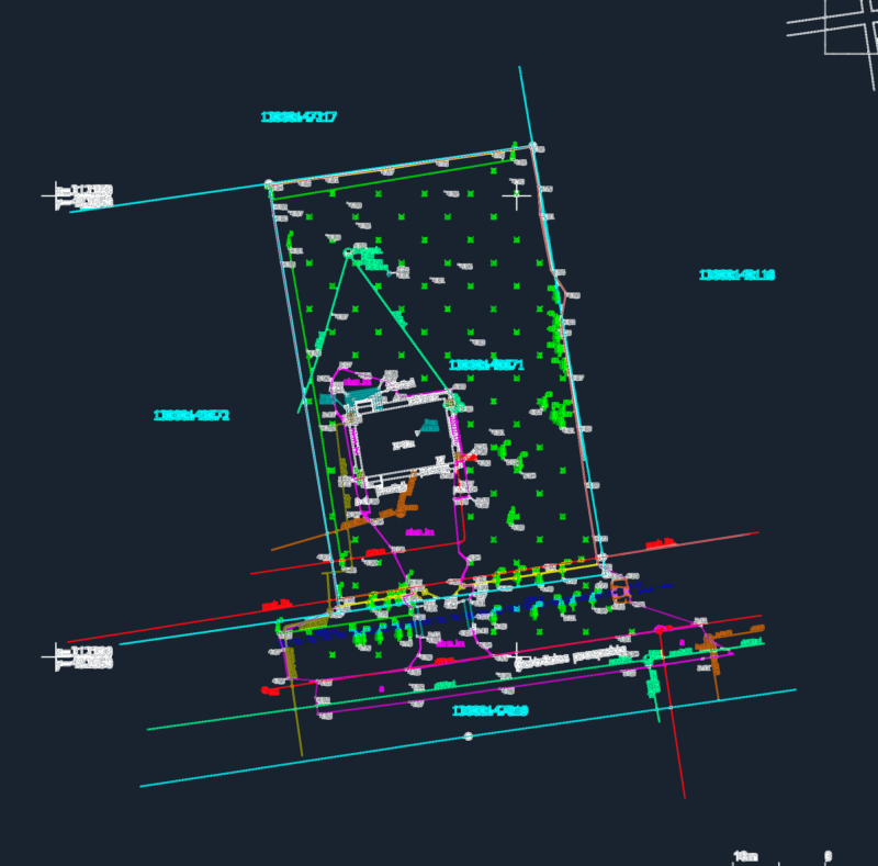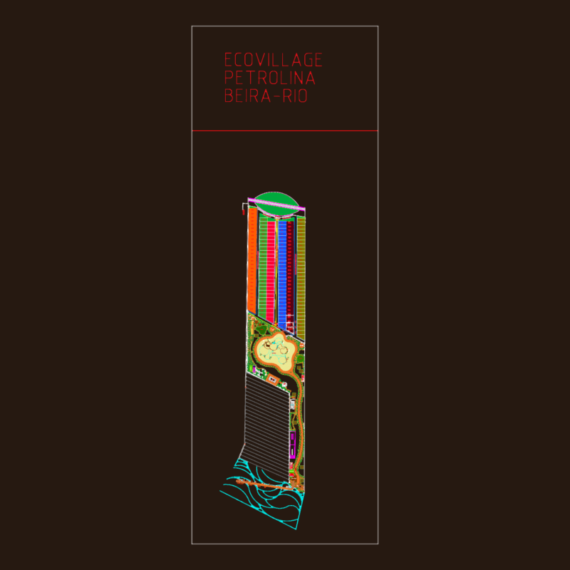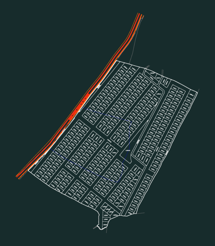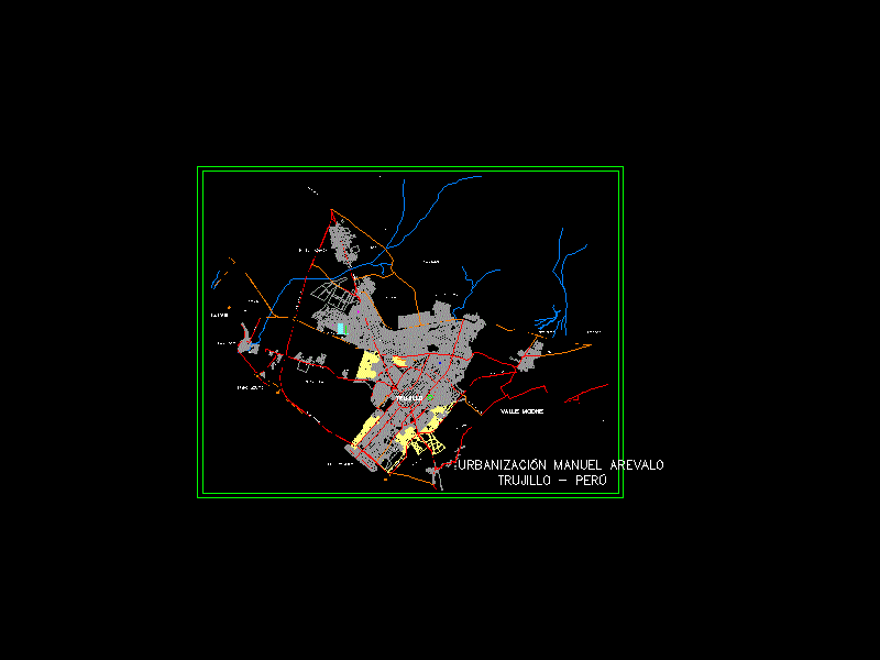
Plane hystorical urbanization Manuel Arevalo; 1°;2° y 3° etapa
Drawing labels, details, and other text information extracted from the CAD file (Translated from Spanish):
scale:, vertex coordinates utm, vert., line, distance, East, north, datum psad, brogue, Archimedes, av. north america, pasco, pacasmayo, huamachuco, Amazon, cajamarca, napo, Union, tambo, av. santa, cashew, tambo, av. Peru, pinillos, cache, huallaga, inanbari, mantaro, av. the army, chicama, gomez, daniel hoyle, borgono, colonel gomez, sta. cross, cox, Doray, av. miraflores, towers, Wilfredo, t. of panning, av. santa, putumayo, ucayali, perennial, hill of, manu, urubamba, the mill, miraflores, hoyle, quartermaster, towers, uceda meza, av. miraflores, simons, av. the army, av. the army, line, distance, scale:, department: la liberdtad, vert., line, distance, East, north, burgundy, mz.a, rio moche, valley moche, laredo, the miracle, Chan Chan, huanchaco, Huanchaquito, Buenos Aires, north pan american highway, avoidance route, prolong. av. villarreal, avoidance route, prehispanic wall, the Kings, huaca, sedalib, the hills, ramon castilla, Huanchaquito, huaca the shell, Huaca la emerald, Huaca the dragon, huaca takaynamo, balsares, barracks, landfill, zonal park, rio moche, high, Saint Charles, villa airport, bellamar, beautiful, horizon, hill goats, c.p. high trujillo, high laredo, cutoto, the tropic, villa of the sea, the star, avenue one, huanchaco road, industrial road, prolg. av. villarreal, mother channel, trujillo, n.c.p., passage, av., mz.a, vertex coordinates utm, vert., line, distance, East, north, manuel arevalo urbanization, Trujillo Peru, centroid, East, north, vertex coordinates utm, vert., line, distance, East, north, datum psad, scale location plan