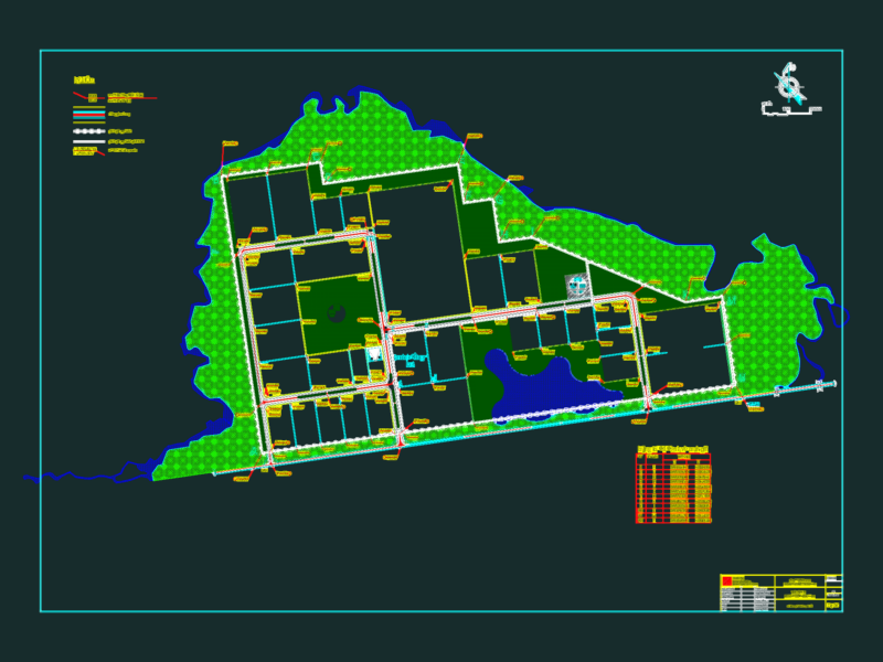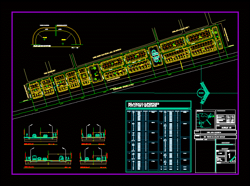
Planimetria of urbanization San agustin located just past the former tranca SanPedro Oruro
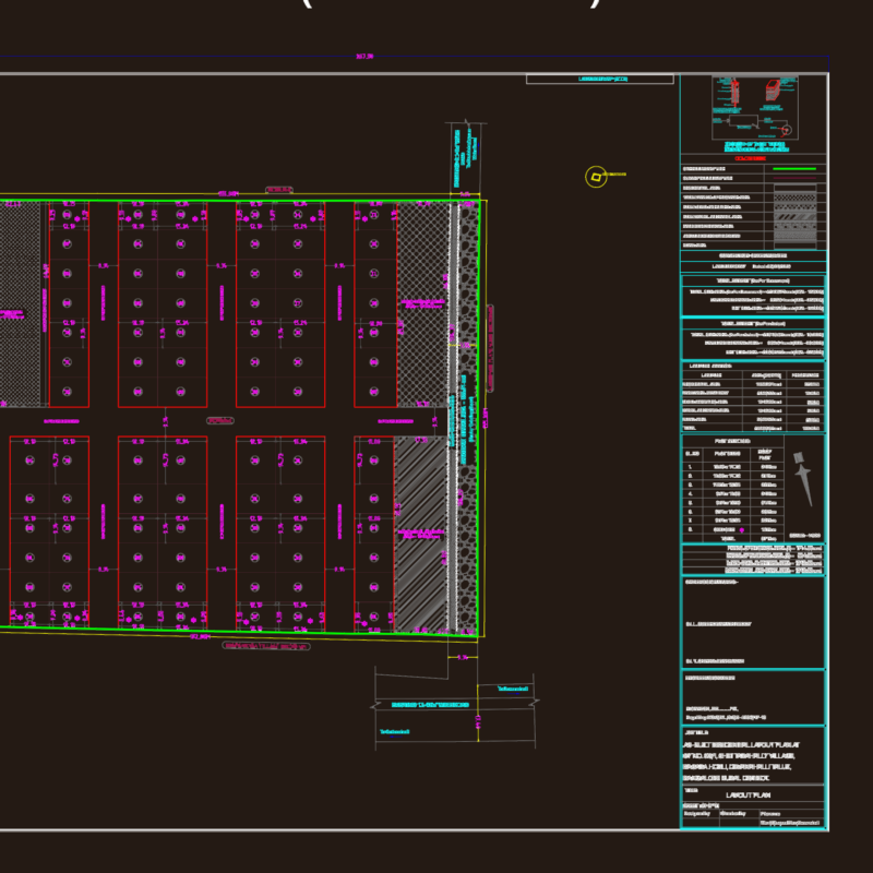
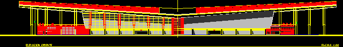
Drawing labels, details, and other text information extracted from the CAD file (Translated from Spanish):
mts. to the axis of the road, urb. Santiago, urb. dora saavedra vda. from Garcia, urb. case, road oruro peace, road axle, limit of urbanization, Street, municipal line, limit of urbanization, Street, road oruro doormats, date, seal c. to. or., sep., oruro, scale, sheet, architect firm, urb. San Agustin, stamp of approval h.a.m.o., owner, Mr. rene callejas monje, draft, owner’s signature, total, location map, peace, oruro peace, surface ratio, track shaft, Street, track shaft, Street, Street, Street, track shaft, Street, track shaft, Street, track shaft, Street, track shaft, north, limit of urbanization, to the axis of the road, municipal line, Apple tree, lot number, sup lot, No. of lots, sup apple tree, Apple tree, lot number, sup lot, No. of lots, sup apple tree, apple trees, surface relationship, housing area, green area, area equipment, vehicular area, total, esc., sidewalks, street key, key detail, sidewalks, key in avenues, municipal line, esc., via’s profile, track shaft, municipal line, municipal line, municipal line, track shaft, via’s profile, esc., municipal line, municipal line, track shaft, via’s profile, esc., via’s profile, esc., track shaft, agustin urbanization