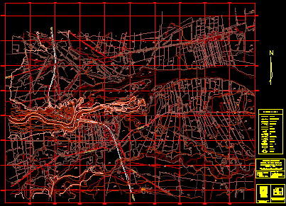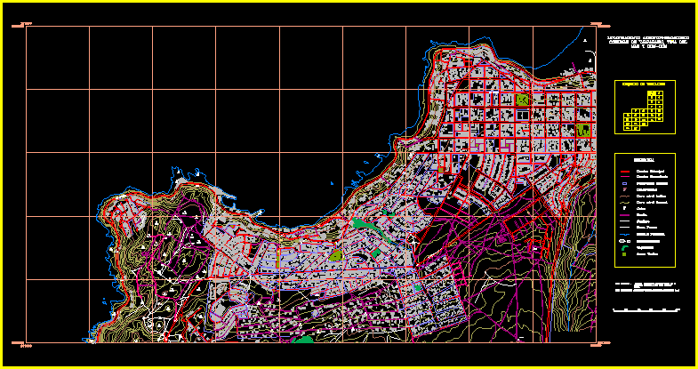
Valparaiso plane
Drawing labels, details, and other text information extracted from the CAD file (Translated from Spanish):
av. naughty, av. with, av. burgundy, geodesic data ellipsoid international datum sad, cartographic data universal transverse projection of mercator, communes of vina del, aerial photogrammetric survey, s.h.o.a, measurements referred to the landmark ‘oceanic rock’, sea, symbology, secondary road, building subdivision, building, quotas, path, paw print, main drainage, equipment, vegetation, green areas, curv. index level, curv. secondary level, location siege, produced by, geoinformation laboratory, Metropolitan Technological University, main road, Railway Line