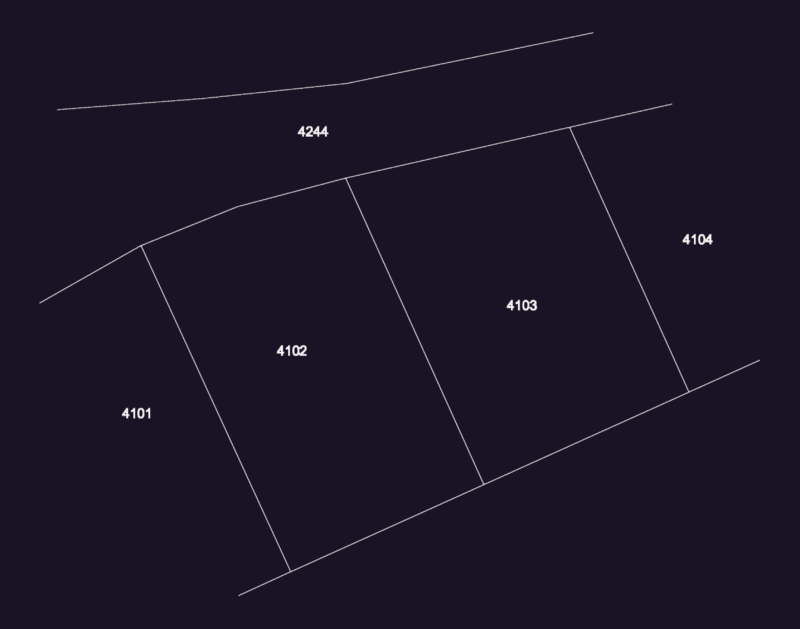
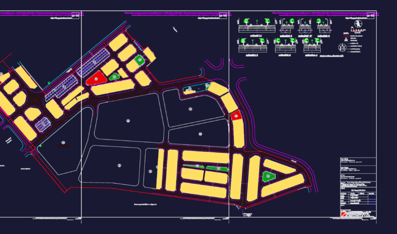
Urban design and zoning map of Cancun, Quintana Roo, Mexico. This 2D AutoCAD drawing shows the city’s block structure, street network, and coastal boundaries. The layout includes color-coded land use zones and district divisions across the mainland urban area.
The file contains a north arrow for orientation and a graphic scale bar. It is a base map for regional planning, infrastructure studies, and urban development projects. Plano urbano de Cancún.