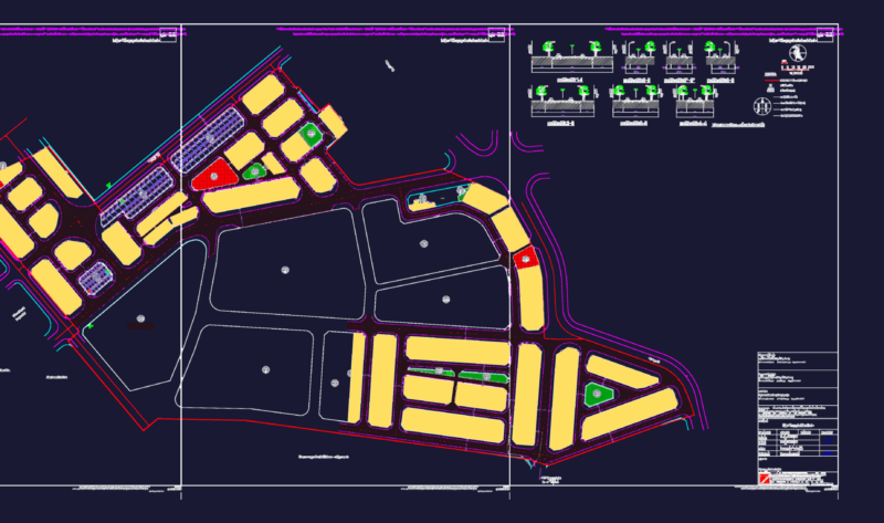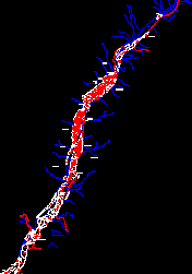
Digitized base sector Chaparra – Arequipa with Cadastral Codes and utm coordinates
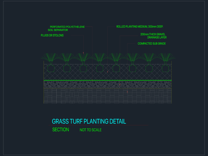
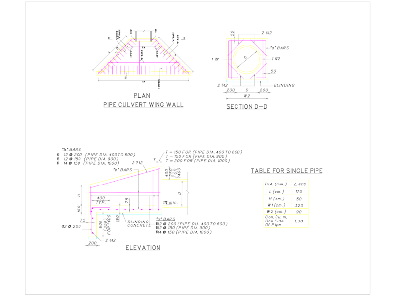
Drawing labels, details, and other text information extracted from the CAD file (Translated from Galician):
rio chaparra, rio irurupa, drainage, hardy, broken, sahuara, broken, sugar loaf, broken, virgin gull, Broken salt if you can, broken montequebrado, broken huara, rio chaparra, broken mill, Broken Huambo, rio chaparra, pluck, river, property owned by the state, eriazos owned by the state, rio chaparra, solar, rio chaparra, town achanizo, district of quicacha, clapper district, district of quicacha, Sanqui hill, I close the piles, the hill is over, great hacienda hacienda, Huaychamaca sector, populated white lands, midnight hill, virgin hill, hill piura, quicacha, road, crowded towns, pond, town trick, hill sahaura, parinacochas road, hill sugar loaf, lunar hill, hill huayuri, cemetery, archaeological zone, mill town, cemetery, ruins, hacienda pampa silversmiths, county, flat strip, sierpe, dunes, colored, farm the winery, flat strip, chaparra town, misti gold mining center, solar, hill hen, flat strip, big pampa, huaychamanca hill, hilly hill, pond, sipasi, huancalpa, towers, flat strip, hacienda Sevilla, make the star, quicacha road, villainous town, hacienda jaboncillo, cemetery, z.l, reserve area