
Cities Of Mesoamerica DWG Block for AutoCAD
Location mesoamerican cities and its context orographic
Drawing labels, details, and other text information extracted from the CAD file (Translated from Spanish):
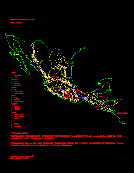
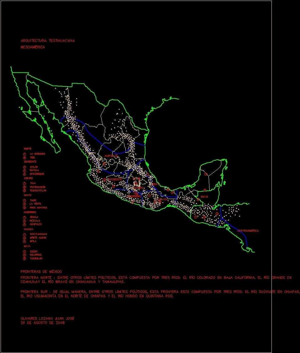
sayula, apatzingán, ixtlan, Teotihuacan, tenochtitlan, tula, the sale, three zapotes, tajín, mix, Acapulco, equal to, monte alban, mitla, coixtlahuaca, calakmul, yaxchilán, edzná, West, center, gulf, Warrior, oaxaca, Maya, West, center, gulf, Warrior, oaxaca, Maya, Central America, north, teul, the burned, north, Teotihuacan architecture, mesoamerica, borders of mexico, The northern border, among other limits, is made up of three rivers: the Colorado River on the lower Rio Grande in Coahuila and the Rio Bravo in Chihuahua Tamaulipas., southern border of equal among other limits this border is composed of three rivers: the river suchiate in the Usumacinta River in the north of Chiapas the river deep in Quintana Roo., olivares lozano juan josé, August
Raw text data extracted from CAD file:
| Language | Spanish |
| Drawing Type | Block |
| Category | Historic Buildings |
| Additional Screenshots |
 |
| File Type | dwg |
| Materials | Other |
| Measurement Units | |
| Footprint Area | |
| Building Features | |
| Tags | autocad, block, church, cities, corintio, dom, dorico, DWG, église, geschichte, igreja, jonico, kathedrale, kirche, kirk, l'histoire, la cathédrale, location, teat, Theater, theatre |