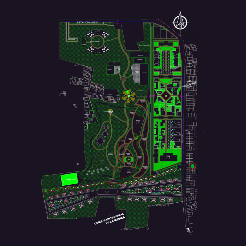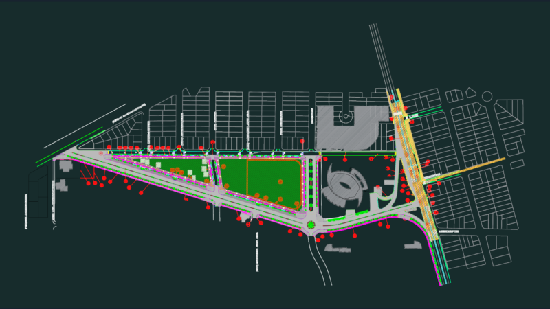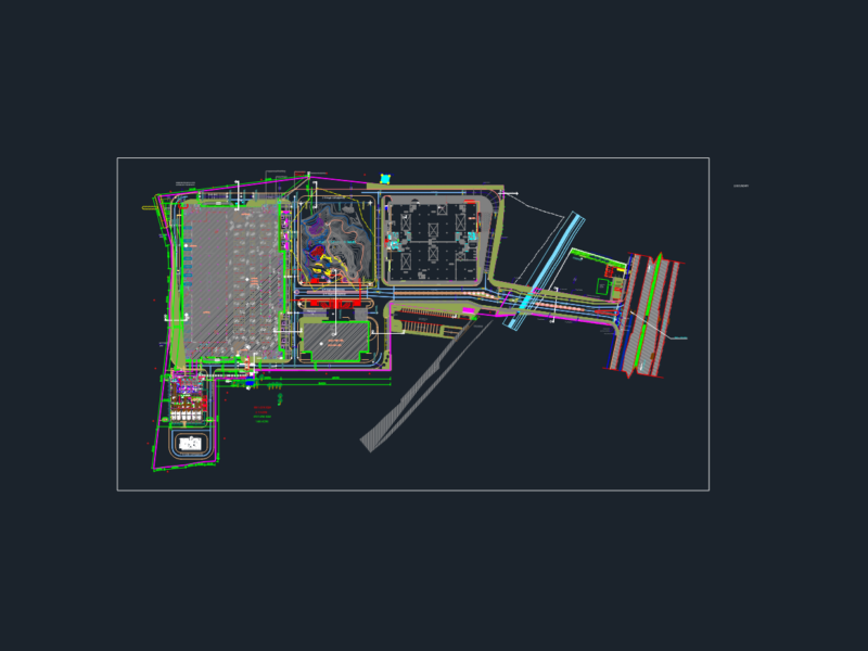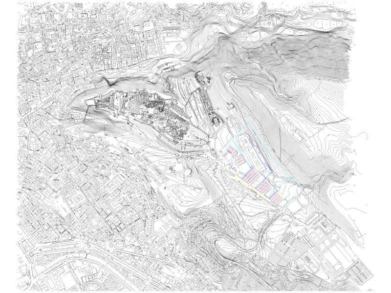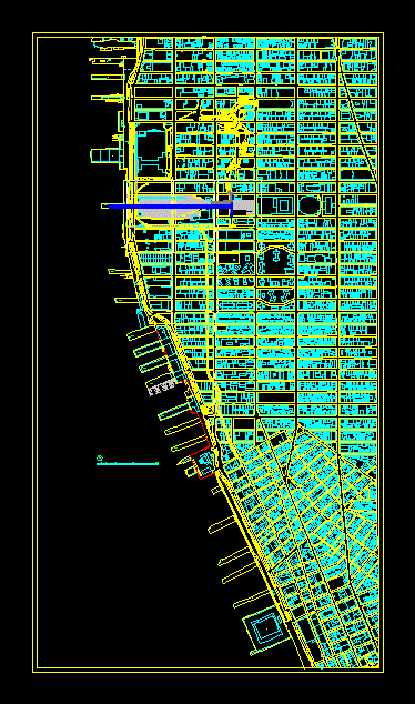
Detail New York City West Sector
Drawing labels, details, and other text information extracted from the CAD file:
the high line, survey site plan, may, the high line, survey site plan, may, the high line, survey site plan, may, the high line, survey site plan, may, the high line, survey site plan, may, the high line, survey site plan, may, the high line, survey site plan, may, the high line, survey site plan, may, the high line, survey site plan, may, the high line, survey site plan, may, w. st., ninthavenue, dyer avenue, tenth avenue, eleventh avenue, west side highway, w. st., little w. st., greenwich st., washington st., mile, hudson st., gansevoort st., pier, w. st., ninthavenue, west side highway, eleventh avenue, tenth avenue, ninthavenue, eleventh avenue, tenth avenue, west side highway, ninthavenue, west side highway, eleventh avenue, tenth avenue, ninthavenue, tenth avenue, ninthavenue, tenth avenue, ninthavenue, tenth avenue, west side highway, site and neighborhood context plan, the high line