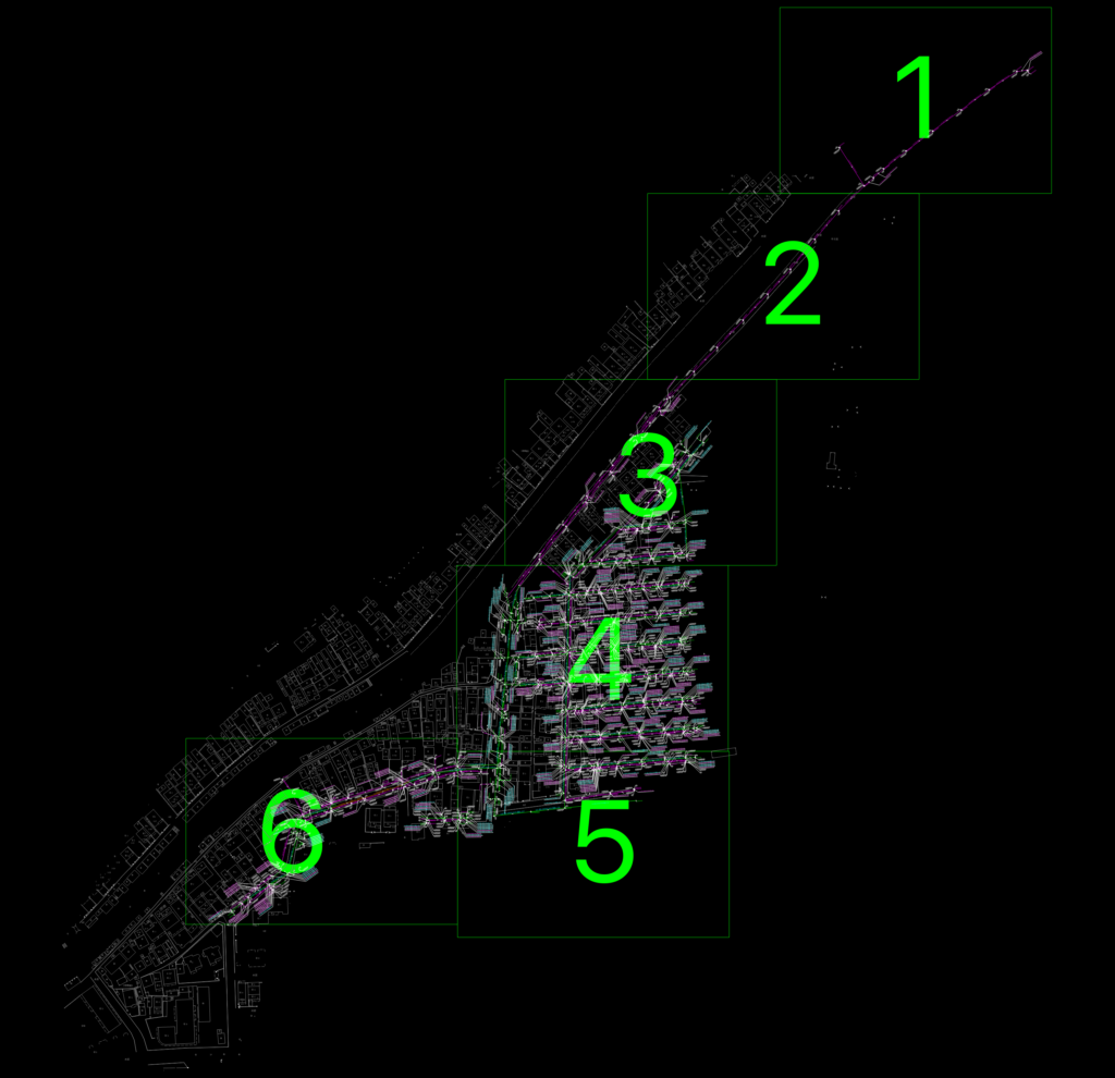
Detailed survey layout for the Anhe Street underground utility network. We’ve included the complete drainage and sewage systems with specific manhole IDs like SEW and SEY labeled throughout the site. The drawing covers a large urban area showing building footprints, road features, and topographical survey data. – Sewage and Wastewater lines (YS/WS) – Survey points for key junctions and pipe turns – Detailed numbering for municipal maintenance tracking – Building outlines (JMD layer) and existing infrastructure Everything is drawn in metric and organized into standard survey layers. It’s a solid reference for anyone doing municipal planning or checking existing pipe routes before new construction. Compatible with AutoCAD 2004 and later versions. 安合街摸查平面图.dwg
Detailed Anhe Street Underground Utility Survey and Drainage Plan