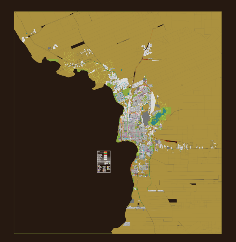
Las Heras is a city in the northern sector of greater Mendoza, the capital of the province of the same name.
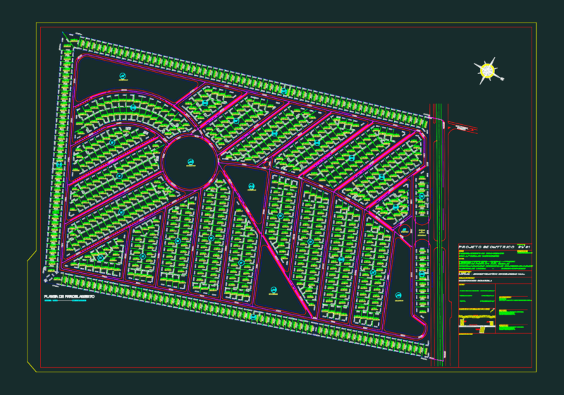
Drawing labels, details, and other text information extracted from the CAD file (Translated from Spanish):
the shelter, clandestine plot, the shelter, the challao, unstable villa, neighborhood reconquest, townhouse finchley, loteo grumenco s. to., santa rosa neighborhood, pedestrian walkway, coop. Mariano Moreno, little sister, pancake, coop. la integracion ltda., pje manufactures, coop. of viv. the heroes, unstable settlement, pancake, the plumerillo, canal cacique guaymallen, zanjon of the plums, canal cacique guaymallen, hijuela, unified, chapel, springs, algarrobal, gonzalez, hijuela, unified, chapel, springs, algarrobal, gonzalez, channel, cacique, guaymallen, zanjon of the plums, dpto. gral. of irrigation, zanjon of the plums, the plumerillo, clandestine plot, illegal settlement, the plumerillo, alley, the zapallar, the challao, prol. Street, June quarter, coop. of the sun, neighborhood bakers, neighborhood, neighborhood hairdressers, neighborhood s.m.a.t.a., passage, prol. Street, projected street, the challao, algarrobal, settlement, illegal, the shelter, the plumerillo, the Union, the borboncillo, capital limit, urban complex los cerros, neighborhood a.t.s.a., capital limit, neighborhoods, streets, height, plazas, Las Heras Mendoza, cartography: date, references, concessionary streets, concession limits, square, the heroes, monument