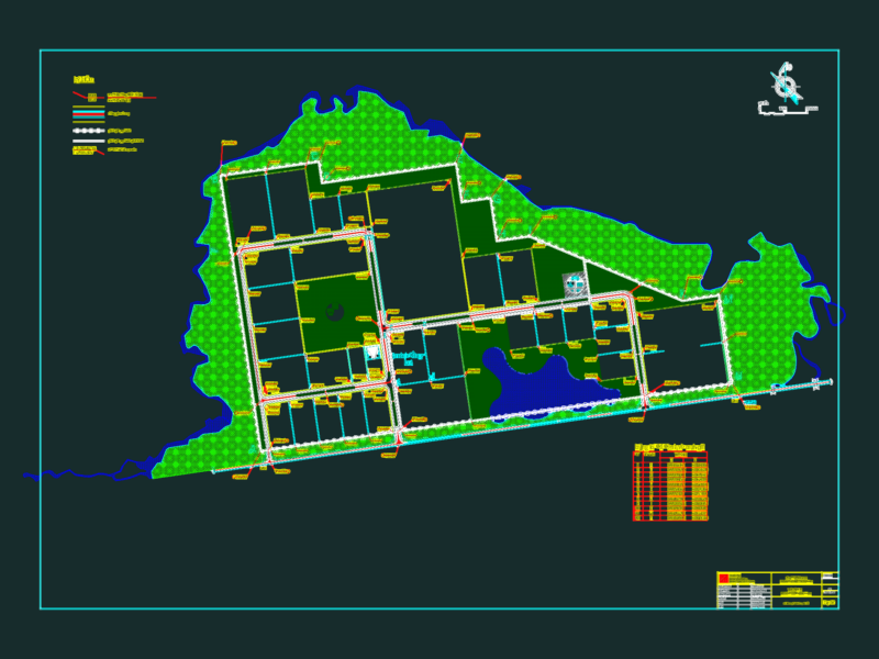
2D city map of Merida, Yucatan, detailing the Historic Center and designated Heritage Zones. This CAD file includes the official INAH (National Institute of Anthropology and History) historic center boundary, along with limits for districts D-1 through D-8 and various neighborhood divisions.
The drawing covers major urban landmarks and thoroughfares, including Paseo de Montejo, Avenida Itzaes, and Avenida Cupules. It provides a structured street grid with labels for colonias such as García Ginerés, Itzimná, and Chuminópolis. The file includes a graphical scale at 1:10,000 and a legend for heritage and administrative zoning. Zonas de patrimonio y centro histórico de Mérida.