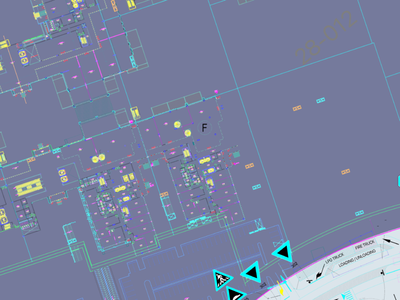
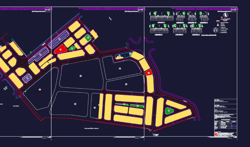
The Map of Guatemala Tecpán – Chimaltenango department.
Drawing labels, details, and other text information extracted from the CAD file (Translated from Spanish):
of July, from tecpan guatemala, pacan, chuaracanjay, the plans, paraxquin, pacacay, via new, Beautiful view, paraxchach flower, paley, the treasure, chipococ, palima, Paquip, chicapir, pachichiac, pebble, the top, the mirador tew juyú, pamezul, xecoxol, xepac, panimachavac, chajalajyá, Saint Charles, palma, san vicente palama, zaculeu, hidden water, chichoy, potrerios, Caquixajay, pachali, caliaj, I saw you, chuatzunuj, chivarabal, the table, chuachali, tecpan Guatemala, old Town, iximché, chuatzite, cruz de santiago, xiquinjuyú, xenimajuyú, beautiful view, paxorotot, patios, chirijuyú, xetzac, Santa Teresa, san lorenzo poroma, asunción manzanales, panimacoc, new dawn cross burnt, san josé chirijuyú, pacorral, the Union, Tzanabaj, pacayal, xetonox, panda, panabajal, flowers, patzun, santa apolonia, the meetings, Guatemala, laguna chichoy, archaeological site iximché, references, interamerican highway, main dirt roads, Alternate dirt roads, municipal boundary, village location