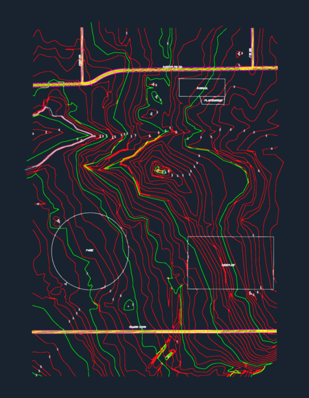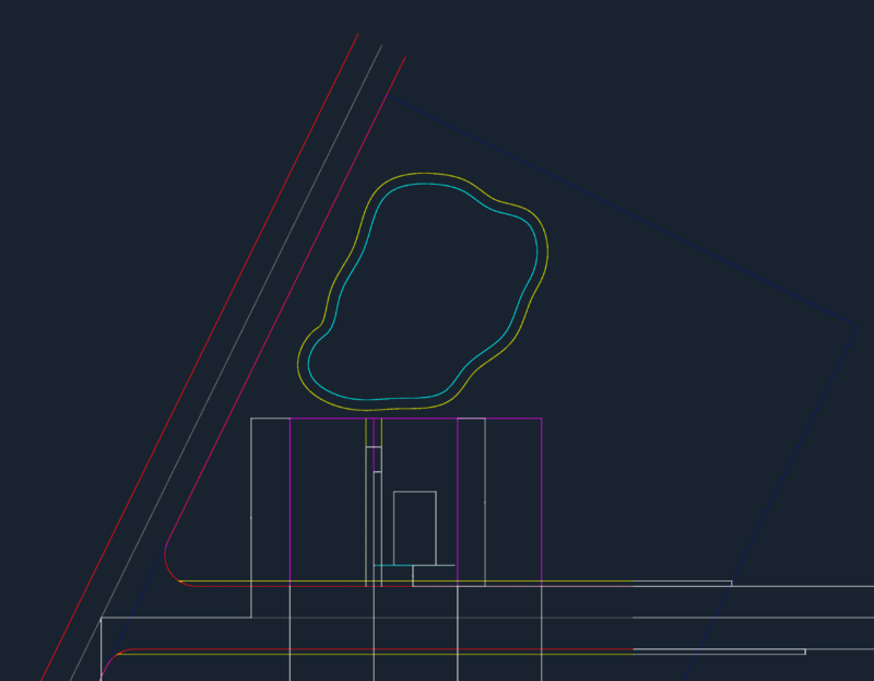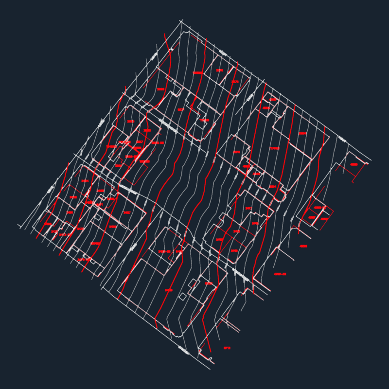
Part of the Embalse La Juliana located in Olmos; Plano with Contours.
Drawing labels, details, and other text information extracted from the CAD file (Translated from Spanish):
Commerce, central shaft, old cross square, i will proclaim my good, EC., acequia the span, irrigation ditch, span, eroded, ravine, the bowls, eroded, I walk the, Juliana, caserio santa rosa, I marry the crossing, asphalt road, water mirror in reservoir, River, carousel, urban buildings, agricultural land, transmission line, master curves, intercalated curves, elm trees, elm trees, old pan american road variant, drain number, discharge channel of the c.h. no, drain number, new crossover, let’s go, corral burned, highway, elms, transmission line, grid ……………………… utm each zone, projection ………………. universal transverse mercator, vertical datum ……………………………… mean sea level, horizontal datum ……….. provisional south american, mts, river take, two cerritos, bowls, Juliana, vertex, side, distance, ang. internal, East, north, total, area, perimeter ml., polygon of the area of direct influence, of dam reservoir elms, rustic take, weir, julienne snack