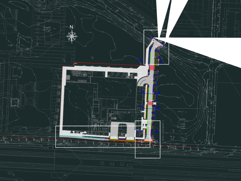
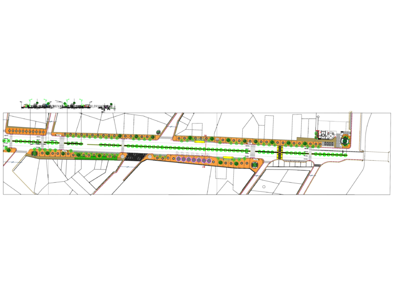
Topographic survey plan showing land parcel boundaries, contour lines, and geodesic reference points. The drawing includes detailed planimetry for multiple plots with area calculations provided in hectares (ha).
This technical CAD file contains a coordinate table for geodesic points and illustrates terrain elevations through standard contour intervals.Includes profiles and topographic data essential for road or route planning.