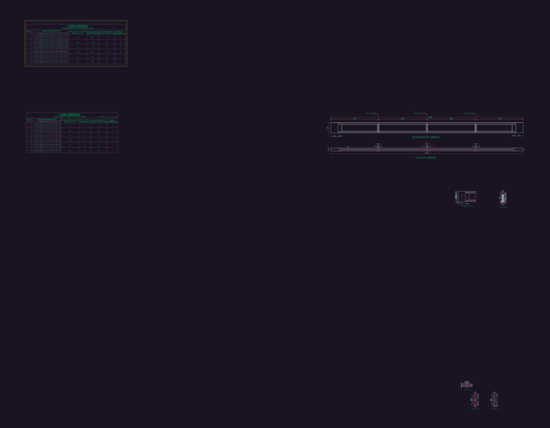
Plant and topographic contours rural road – Chart Axis Construction.
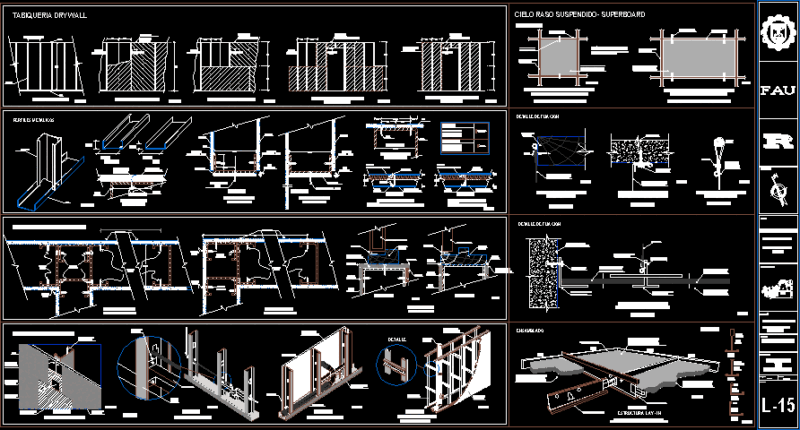
Drawing labels, details, and other text information extracted from the CAD file (Translated from Spanish):
draining, rocks, roc, bathroom, bn screw, eeeeeeeeeeeee, ends, esq, bn tree, bn cedar, entrance, exit, tnnnnn, retained, cfe, rock, bn huachilote, post, bn handle, est, palm, palpa , symbology, shoulder, road axis, level bank, curve number, utm coordinates, location sketches, project data, project speed, governor slope, roadway width, maximum slope, maximum curvature, crown width, thickness concrete, road type, mileage, h. constitutional city council, topographical plant, public works councilor, municipal president, treasury trustee, sub-section :, section :, road :, jalapa de diaz – the bibianos section, origin :, san felipe jalapa de diaz, oax., type section, san felipe jalapa de diaz, batavia flower, san lucas ojitlan, san juan bautista tuxtepec, miguel de la madrid dam, usila river, saint sunday, miguel aleman dam, master curve, secondary curve, project, axis, vivianos, pi old, hom, bn orange, school, to hillo san juan, a jalapa de diaz, court, tn, axis construction chart, side, distance, bearing, coordinates