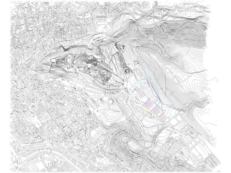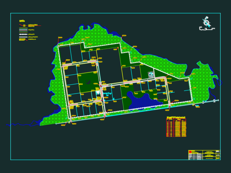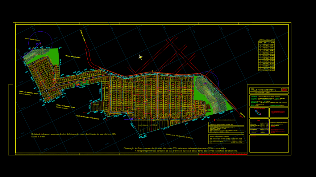
Comprehensive subdivision plan for the “Residencial Mirante da Colina” development in Ouro Fino, MG, Brazil. The 133,030.00 m² parcel is divided into 427 residential lots across 11 blocks, with standard lots of 160.00 m² (8.00m × 20.00m). The master plan includes:
Land Use Distribution:
– Residential lots: 72,741.38 m² (56.022%)
– Institutional area: 6,651.50 m² (5.123%)
– Green areas/parks: 9,136.30 m² (7.036%)
– APP (Environmental protection areas): 12,950.43 m² (9.974%)
– Road network: 28,255.84 m² (21.762%)
The plan incorporates topographic contours with street grades under 20% and lot slopes under 30%. Fifteen numbered streets form the circulation network, with two pedestrian alleys (54.00 m² each). Green spaces are strategically distributed, including preservation areas along water features. Property boundaries are clearly demarcated with adjacent landowner information. Technical annotations indicate earthwork will be required to achieve compliant slopes.