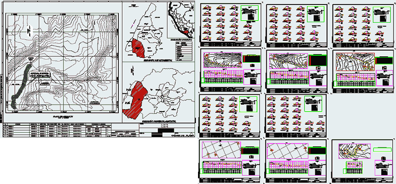
Rock embankment to channel and control river overflow. Sections – Plan- Location – Calculations
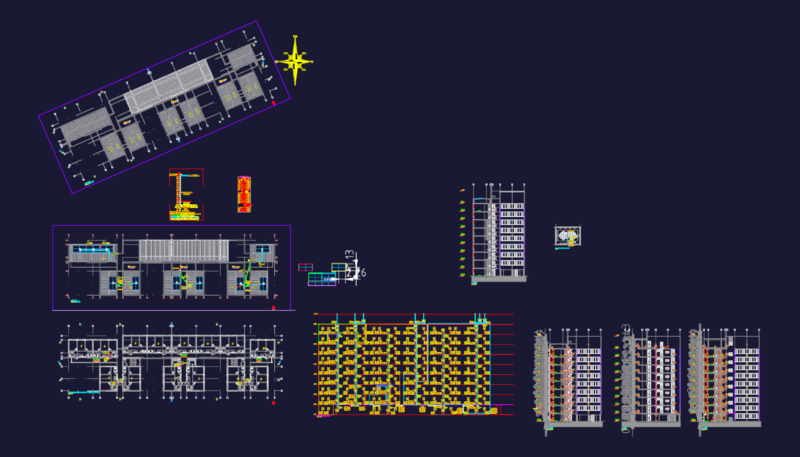
Drawing labels, details, and other text information extracted from the CAD file (Translated from Spanish):
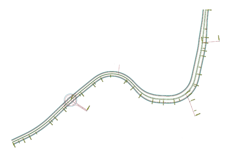
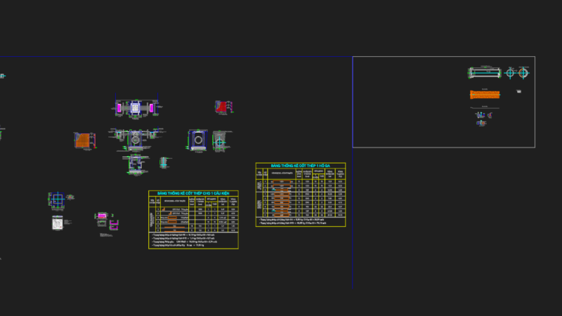
do not. plane ref., flat reference name, no., revisions, drawn by :, date, approval procedure, responsible, by, signature, drawing, design, supervision, project manager, route :, scale :, customer :, project not :, discipline :, esc. plotting :, format :, software-see :, date of plotting :, plan not :, code :, project :, indicated, elaboration of the technical file of the project, regional government huancavelica, civil design, management of studies, ing. c. rivera ch., tec. luis valdez c., construction of irrigation system rumichuco pantachi south, ccarhuacc, pucaccasa and paltamachay in the district of yauli-huancavelica province., topographical, plant and longitudinal profile, adduction line, ing. samuel quisca, tec l. valdez, regional government of cajamarca, elaboration of the study of preinversion to, subregional management chota, location, tec. and. ossio, tec. eduardo ossio, general, district municipality of vitor, location map, ecuador, colombia, brazil, bolivia, chile, pacific ocean, provinces :, arequipa, department: arequipa, islay, condesuyos, caylloma, castilla, caravelí, camaná, national location , departmental location, direccionnorte, apurimac, ayacucho, caraveli, the union, cotahuasi, chuquibamba, camana, aplao, mollendo, chivay, cuzco, puno, moquegua, vitor, the jewel, sta. rita, follow, sta. isabel, tambillo, yura, c.colorado, cayma, chiguata, tarucani, polobaya, yarabamba, pocsi, uchumayo, provincial-district location, union, bridge, vitor, panamericana, highway, riparian defense, rio vitor, pacific ocean, apurímac , cusco, ica, department, of arequipa, province of, location, of the project, map of location, scale: indicated, ing. carlos rivera, plane :,: vitor, mdv-aqp,: arequipa, district municipality, district, department, province, location :, de vitor, ribereña defense – in the destitute sector, plant and profile, consultant, location map , helpless, curves, curve, delta, radio, arch, stan, rope, area, under, rope, profile, plant, north, right margin vitor, river, rioo, caudal, cult, lin, pan, type, material , factor, abundance, compaction, ordinates of the, curve mass, embankment, cut, subgrade, terrain, volume, thickness, elevation, project:, cross sections, progressive, mileage, level terrain, elevation, alt. cut, sent., deflex., tang., lc, ext., pc, pi, pt, this, typical section, longitudinal profile, dike, legend, alignment, right bank, river, curve elements box, left margin , letter, name, pbase, pvgrid, pegct, pfgct, pegc, pegl, pegr, pfgc, pgrid, pgridt, right, peglt, pegrt, pdgl, pdgr, left, sector la cano – desamparados, hydrostatic pressure calculations