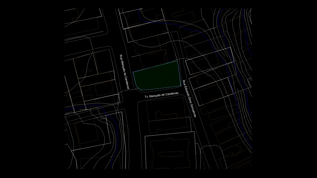
Urban Parcel Location Documentation
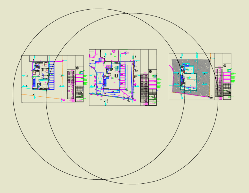
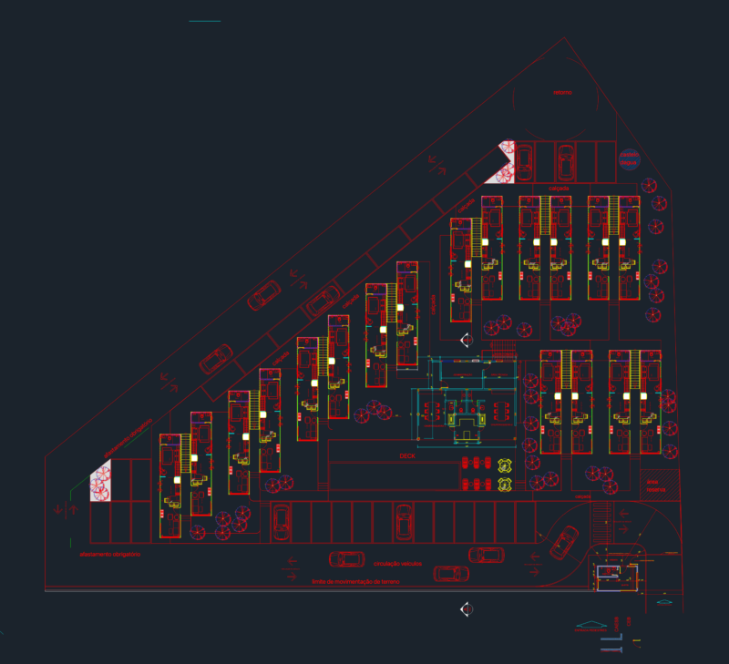
This site location plan illustrates a residential development parcel in Salvador, Bahia, Brazil. The drawing highlights the property boundaries with a distinctive hatched area demarcated in green, indicating the developable ladn.
The site is strategically positioned at the intersection of three streets:
– Rua Marquês de Caralevas (north boundary)
– Travessa Marquês de Caralevas (south boundary)
– Rua Eduardo Diniz Gonçalves (east boundary)
The drawing maintains a 1:200 scale (as noted in the original title block) and follows Brazilian CAD documentation standards for urban planning. The orientation shows adjacent properties and urban context, with the building footprint clearly differentiated from neighboring structures.
Notable Features:
– Irregular polygon parcel shape with curved boundary segments
– Clear street frontage on multiple sides enhancing accessibility
– Proximity to Atlantic Ocean (referenced in metadata)
– Property boundary highlighted with specialized layer designation
This location plan serves as a foundational document for permitting, urban planning compliance verification, and preliminary site analysis for the CONSPLAN OCEAN development project.