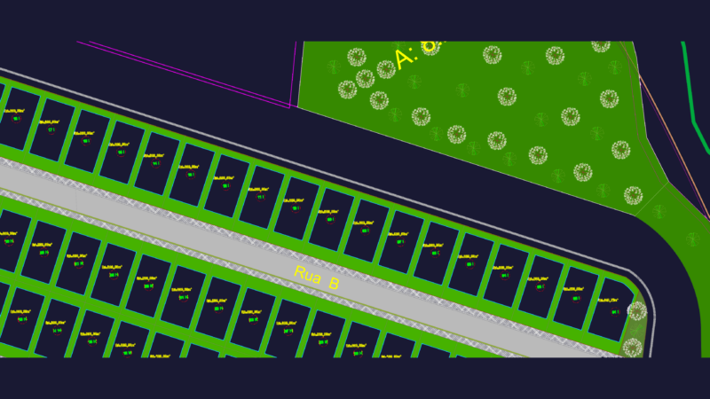
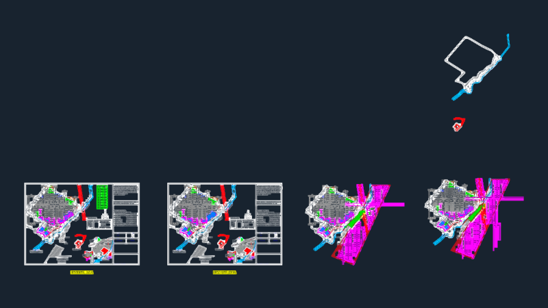
Technical urban structuring and zoning map for the city of Cajamarca, Peru. This 2D drawing provides a layout of the city’s districts including San Martin, Chontapaccha, and Samanacruz, alongside major transit routes towards the airport and Otuzco.
The plan delineates specific land-use zones such as industrial areas, urban expansion zones, and intangible archeological and agroecological zones. It includes a detailed street grid labeled with local jirones and avenidas, as well as the locations of stabilization ponds, educational facilities, and neighborhood boundaries. A comprehensive legend table categorizes the various urban sectors and planning requirements. Plano de zonificación urbana de Cajamarca.