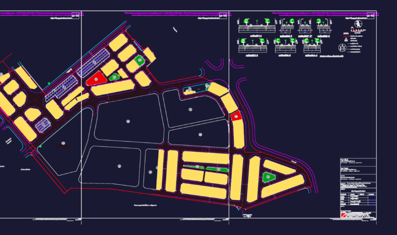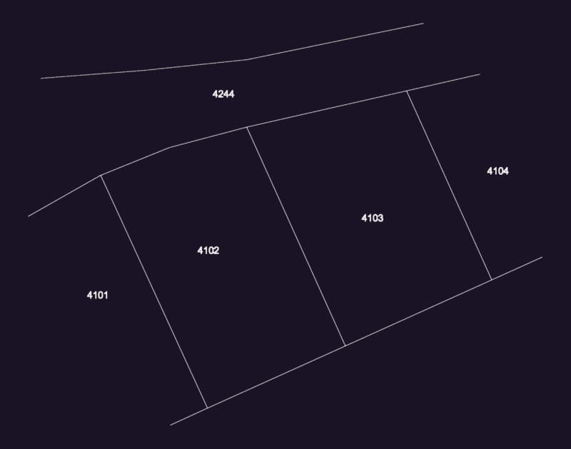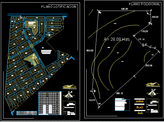
Subdivision map with roads, drains, connectors, schools and open space areas for a development called Canteritas.
Drawing labels, details, and other text information extracted from the CAD file (Translated from Spanish):
area perimeter frame construction point distance distance coordinates, have, esc:, umsnh, design of fractions, sec, traverse plane, draft:, student:, plan key:, architectural plan, polygonal plane, sup, division, the canteritas, collector streets, main streets, secondary streets, esc:, umsnh, fractionation design, sec, Lotification plan, draft:, student:, plan key:, architectural plan, division, the canteritas, flat lotificacion, donation to the government, elevated tank, street clays, priv. sands, priv. clays, priv. limestone, priv. songs, street stone west river, av of the north quarry, av of rocks, donation area to the city hall, av. of rocks, av of the south quarry, calle cantera rosa, calle cantera blanca, priv quarry, priv quarry pink, walker records, street quarry gray, priv quarry gray, street arenas, priv corner arena, priv river arena, street quarry gray, calle cantera rosa, river arena street, street stone east river, street marmolinas, priv marmolinas, priv marble black, priv marble white, av. of rocks, quarry extension, pomex street