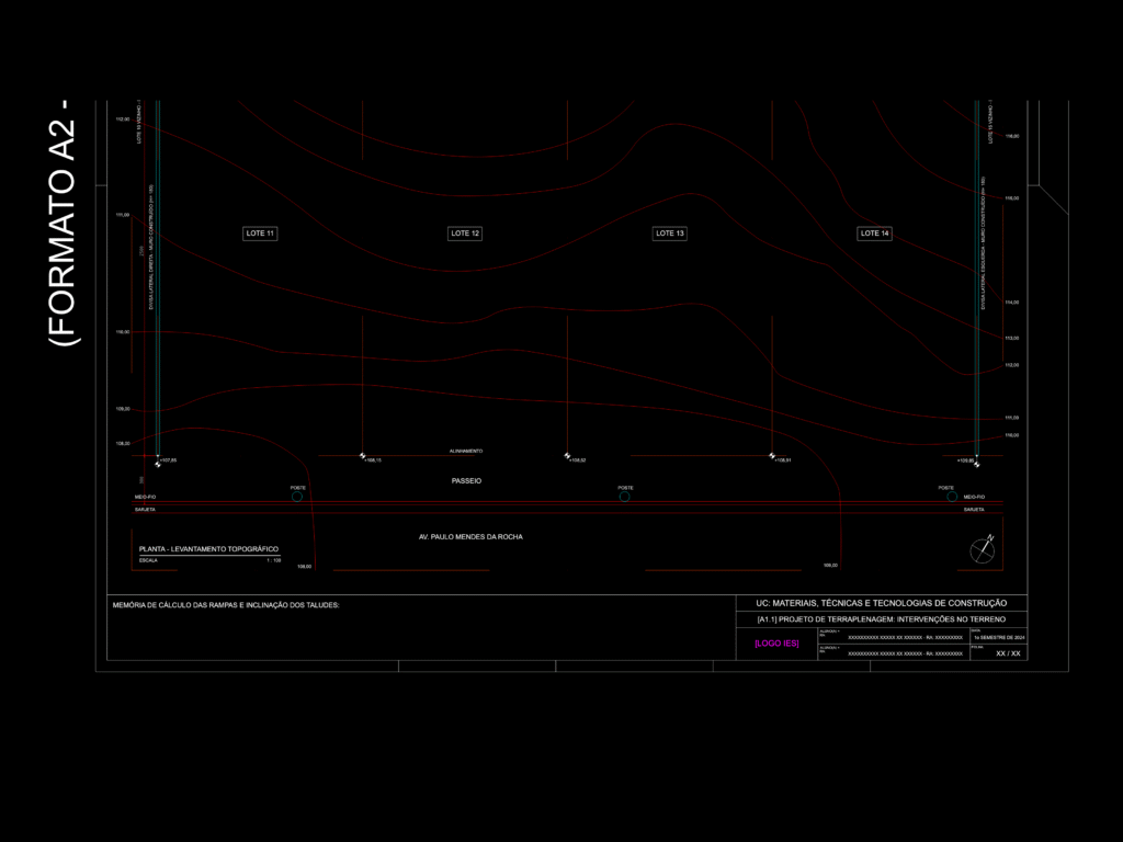
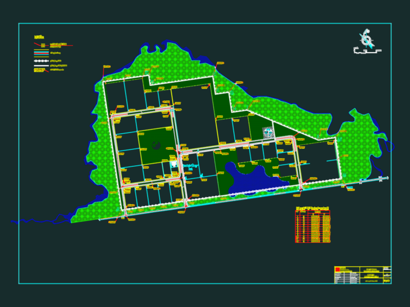
Topographic survey plan showing site levels and contour lines for residential lots 11 through 14. Includes street alignment, sidewalk details and existing utility poles along Av. Paulo Mendes da Rocha. The layout also provides a section for calculating ramp slopes and embankment inclinations. Planta de levantamento topográfico e projeto de terraplenagem mostrando curvas de nível, alinhamento de passeio e postes.
Topographic Site Plan with Contour Lines and Earthwork Details