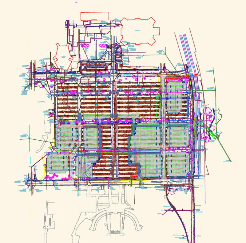
Topographical survey for land plots A and B at “Kalathas”, Tourlos in Mykonos. Total area around 8153 sqm (4058m2 & 4095m2 split). Includes the full EGSA ’87 coordinate tables, boundary vertex points, & contour elevations (85m, 90m, 95m). Site plan at 1:200 plus the 1:5000 location map. All boundary distances, KAEK IDs, and engineer notes are here. Survey data from Dec 2023. Τοπογραφικό διάγραμμα στην περιοχή “ΚΑΛΑΘΑΣ” Τούρλου Μυκόνου.
Topographical Survey for Land Plots in Kalathas Tourlos, Mykonos