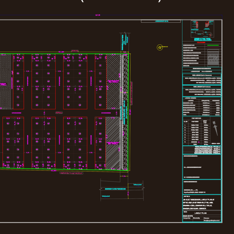
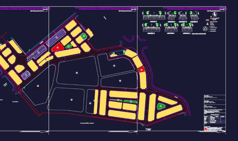
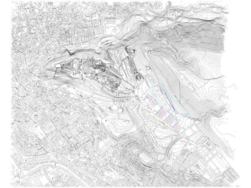
Comprehensive 1:2000 scale urban development plan for the Tan Hiep Urban Area in Hoc Mon District, Ho Chi Minh City, Vietnam. The drawing features a detailed zoning scheme with color-coded functional areas including residential zones, commercial centers, educational facilities, and green spaces. Key infrastructure elements include: Road Network – Hierarchical system with main arterial roads, essentially, (30-120m width) – Ring Road 3 connection (60m ROW) – Local and collector roads with specified cross-sections – Detailed road sections showing traffic lanes, medians, and setbacks Land Use Allocation – Residential units organized into two primary planning zones – Commercial and service facilities distributed at key intersections – Educational institutions (kindergartens, primary schools, secondary schools) – Public spaces including parks, sports facilities, and water features The plan incorporates existing site conditions including canals (Kenh Xang, Kenh T1, T2, T3) and establishes building setback requirements based on building height. Design standards specify road widths ranging from 7.5m to 40m with detailed cross-sections providing specific dimensions for lanes, sidewalks, and medians.
Urban Development Land Use Plan for Tan Hiep Urban Area