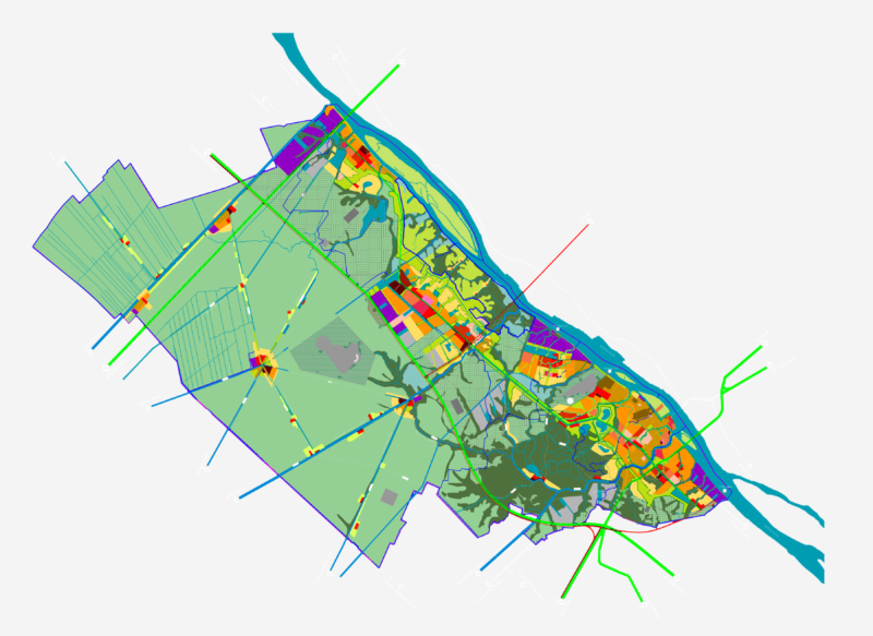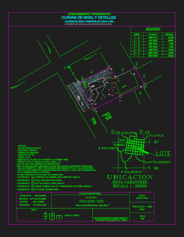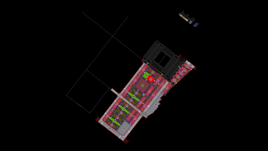
Urban Development Master Plan Overview
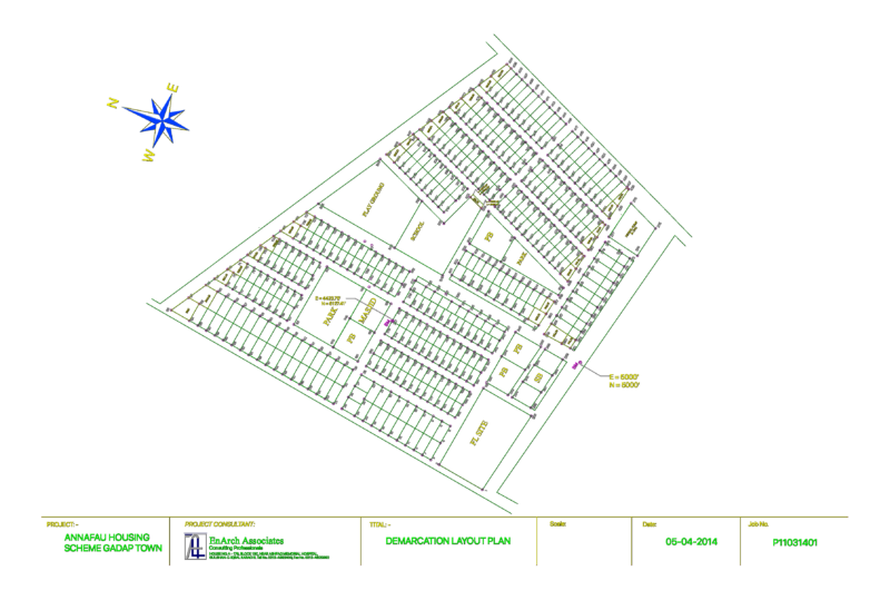
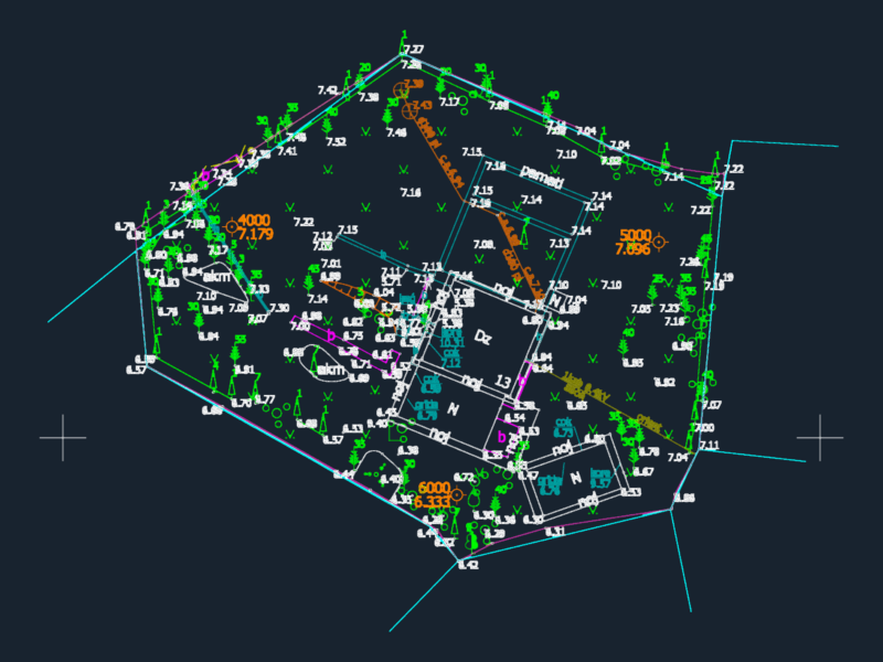
This detailed land use plan illustrates the comprehensive development scheme for a 17.7-hectare land auction site in Trau Quy district. This drawing depicts a carefully structured residential subdivision with interconnected circulation networks and designated community facilities.
Site Characteristics:
– Total project area: approximately 177,689 m² (~17.7 hectares)
– Bounded by reference points labeled m1 through m37
– Features clear organization of land parcels with specified building setback lines
– Road network includes 22m and 30m width arterial roads
Land Use Allocation:
– Residential linked housing plots (Đất ở liền kề): ~73,185 m²
– Community services areas (Đất công cộng DVO): ~2,514 m²
– Kindergarten/preschool land (Đất trường mầm non): ~8,692 m²
– Green spaces and parks (Đất cây xanh, vườn hoa): ~6,492 m²
– Parking areas (Đất bãi đỗ xe)
The plan incorporates clear zoning regulations with specified parameters for each land parcel:
– Plot identification (A: Tên ô đất)
– Plot area in square meters (B: Diện tích ô đất)
– Occupancy capacity (C: Số người)
– Building coverage ratio (O: Mật độ xây dựng)
– Maximum allowable building height (E: Tầng cao)
The drawing includes essential urban planning elements such as building lines (chỉ giới xây dựng), street lines (chỉ giới đường đỏ), boundary markers, and corner chamfer dimensions – demonstrating compliance with Vietnamese urban planning regulations while creating a functional neighborhood development framework.