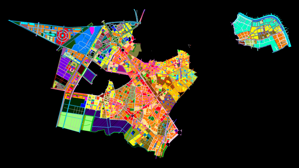
Comprehensive Urban Planning Map for Municipal Development
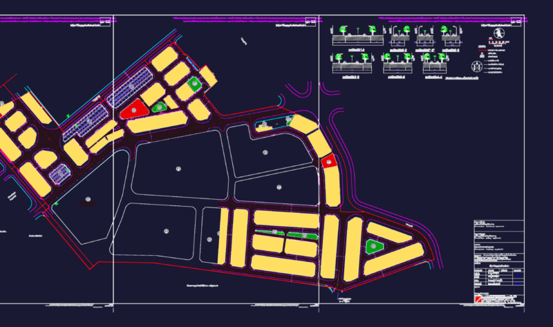
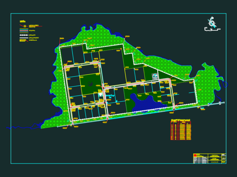
This detailed urban planning document presents a comprehensive zoning and land use master plan for a Vietnamese municipality, likely in the vicinity of Ho Chi Minh City based on text references to ‘Nguyễn Văn Bứa’ road. This drawing integrates multiple planning elements across approximately 15km² of development area.
Key Planning Components:
– Color-coded zoning designations showing residential (orange/yellow), commercial (red), industrial (purple), educational (blue), green spaces/parks, and transportation infrastructure
– Hierarchical road network with primary arteries (including Quốc Lộ 22/National Highway 22) and secondary circulation systems
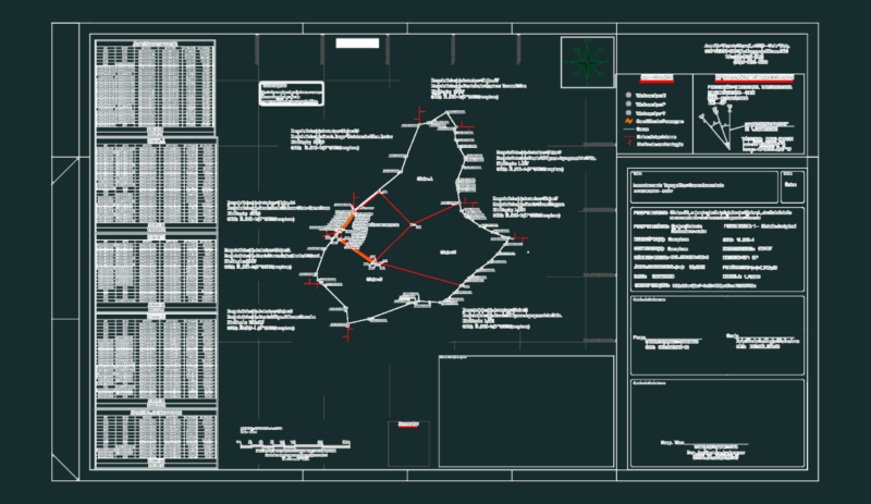
– Utility corridors for high-voltage power transmission (110kV and 220kV lines)
– Water features including canals and drainage systems
– Educational facilities (including Trường tiểu học Mỹ Huề elementary school)
– Mixed-use development zones with varied densities
The plan incorporates existing structures while designating future development parcels, providing setbacks, and establishing infrastructure corridors. Boundary demarcations clearly define administrative and developmental limits. The presence of high-voltage transmission corridors (220kV) indicates consideration for major infrastructure integration and safety setback requirements.
This master planning document would serve as the regulatory basis for future development approvals, construction permits, and infrastructure planning across the municipality.