Designs CAD
Categories
Upload
Pricing
Blog
FAQs
0
Login
Sign Up
Home
/
Public Facilities
/
City Plans
/
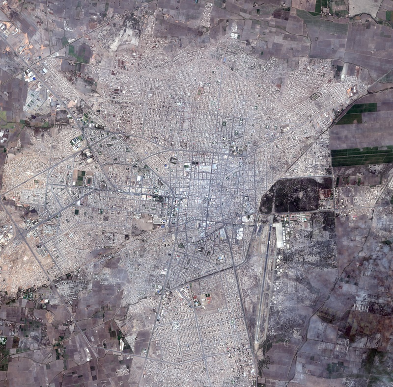
Aerial Map Chiclayo, Peru 2D BMP Graphics Graphics
Aerial Map Chiclayo, Peru 2D BMP Graphics Graphics
×
−
100%
+
Aerial view of Chiclayo – Peru
PREMIUM
File Details
File Type
BMP
Type
Graphics
Language
English
Uploaded by
CAD Drawings
Category
City Plans
Published
Apr 3, 2026
Price
$3.87
or
$3.87 – Add to Cart
Checkout
Added to cart
or
get unlimited access from $7/mo
Tags
aerial
beabsicht
bmp
borough level
chiclayo
graphics
map
PERU
political map
politische landkarte
proposed urban
road design
stadtplanung
straßenplanung
urban design
urban plan
View
zoning
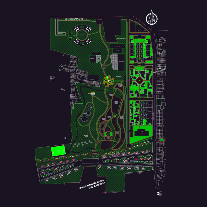
Ecopark urban development project master plan
FREE
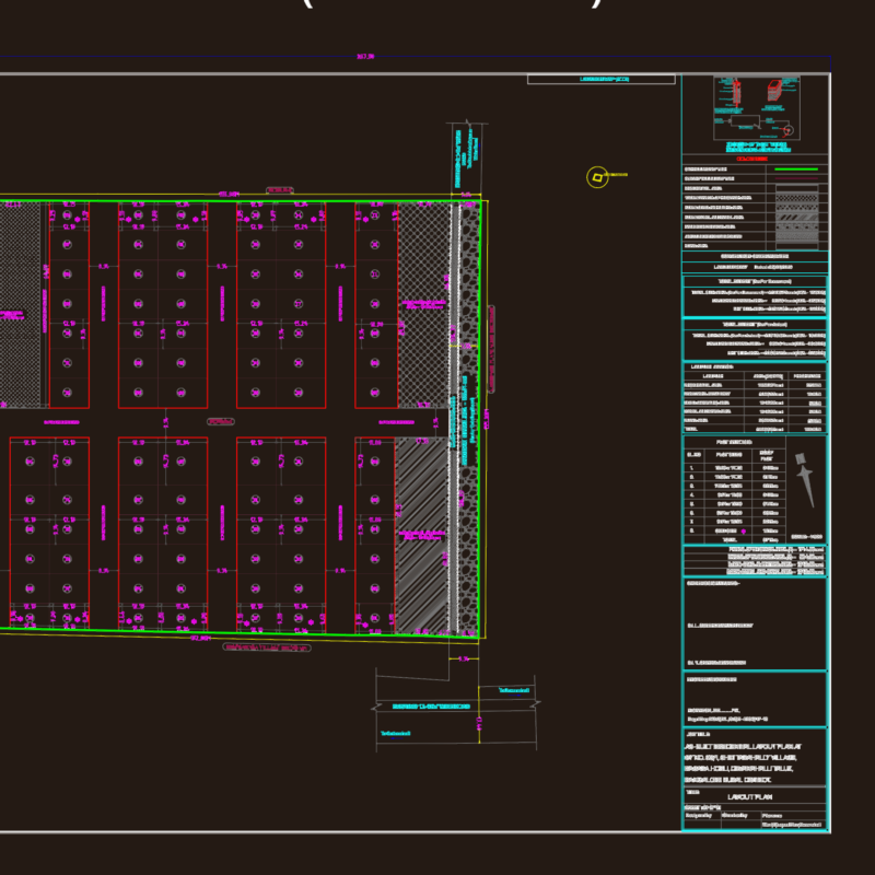
NGCP Power Line and Davao Cadastre Quarry Site Plan
FREE
87 Plot Residential Layout Plan Devanahalli Bangalore Rural
FREE
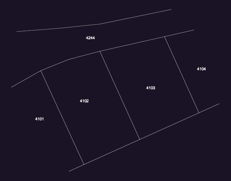
Douma 4102-4103 Lot Boundary Layout
FREE
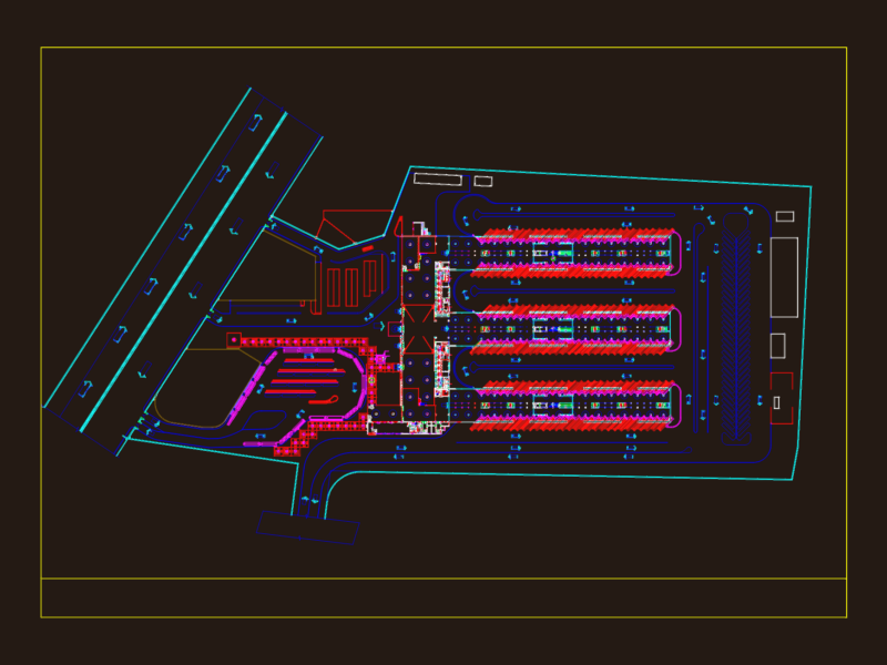
Mall And Car Park Complex DWG Plan for AutoCAD
PREMIUM
$3.87
Master Urban Development Plan DWG With Infrastructure Roads And Parcel Layouts
FREE
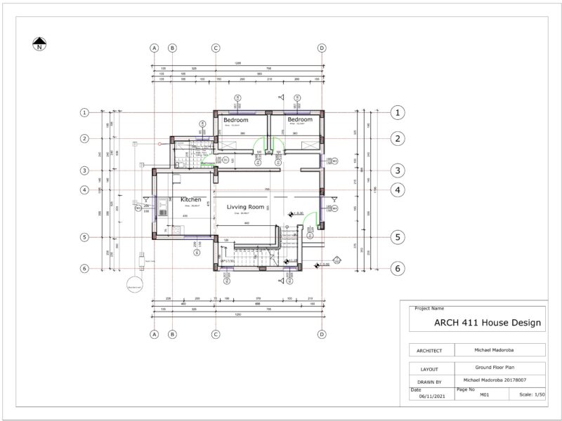
Arch House Design
FREE
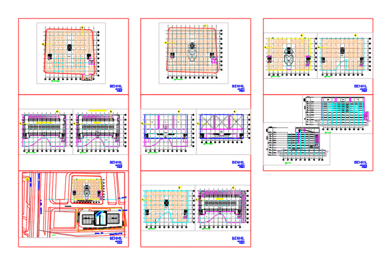
Complete Bus Terminal Layout with Arrival and Departure Bays
FREE
HOUSING PROJECT GENERAL PLAN DWG
FREE
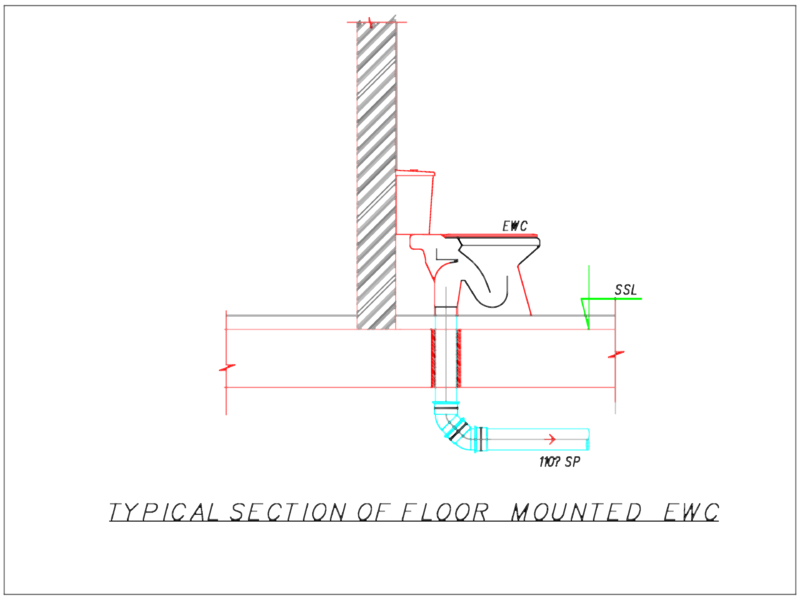
Floor Mounted EWC Section
FREE
Super Mart Commercial Site Layout and Roadway Design Plan
FREE
Browse All Downloads