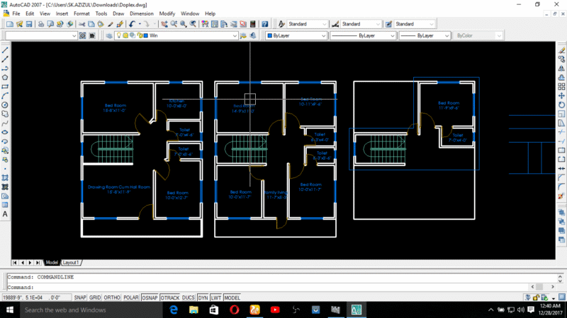
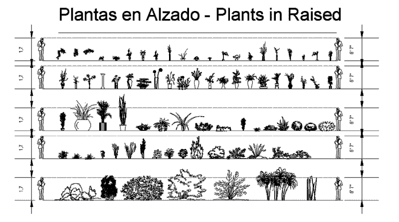
Topographical survey for a fruit tree orchard project. Full site layout featuring contours and spot heights, plus markers for irrigation and drainage pipes. – Utilities: Water supply, culverts, gates. – Security: CCTV and security lights. Coordinate system is Arc 1960 UTM Zone 36N. I’ve got this in an older DWG format so its easy to import into your CAD software.
Fruit Trees Project Topographical Survey Plan