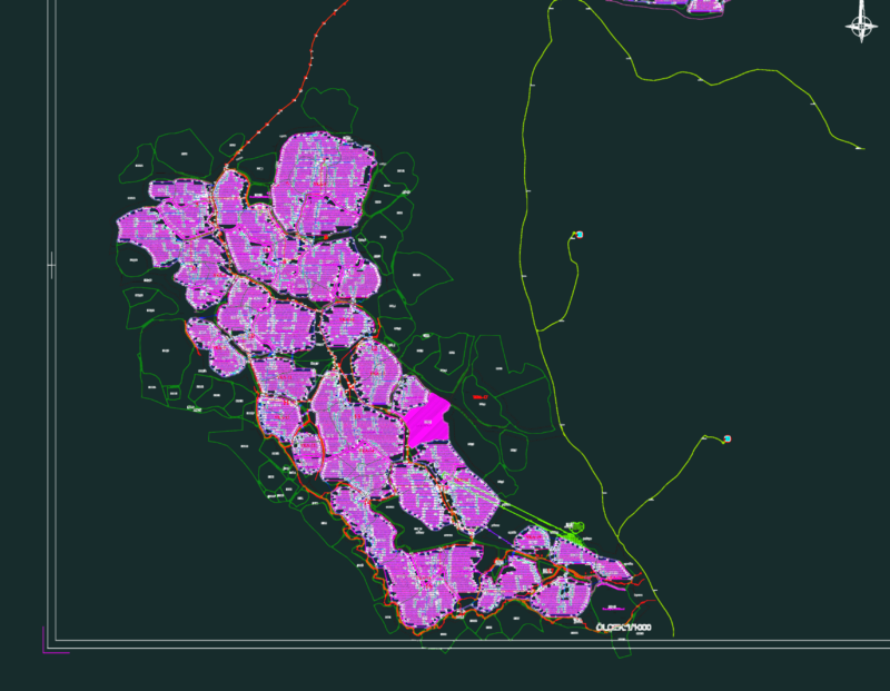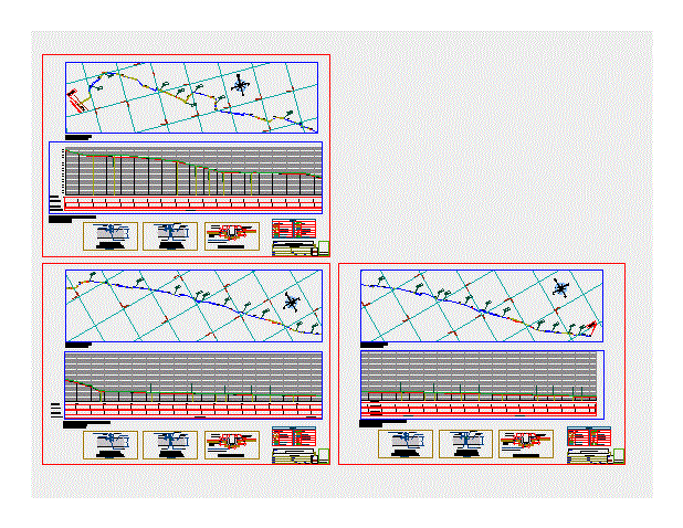
This map contains the irrigation plan and profile with their coordinates and details.
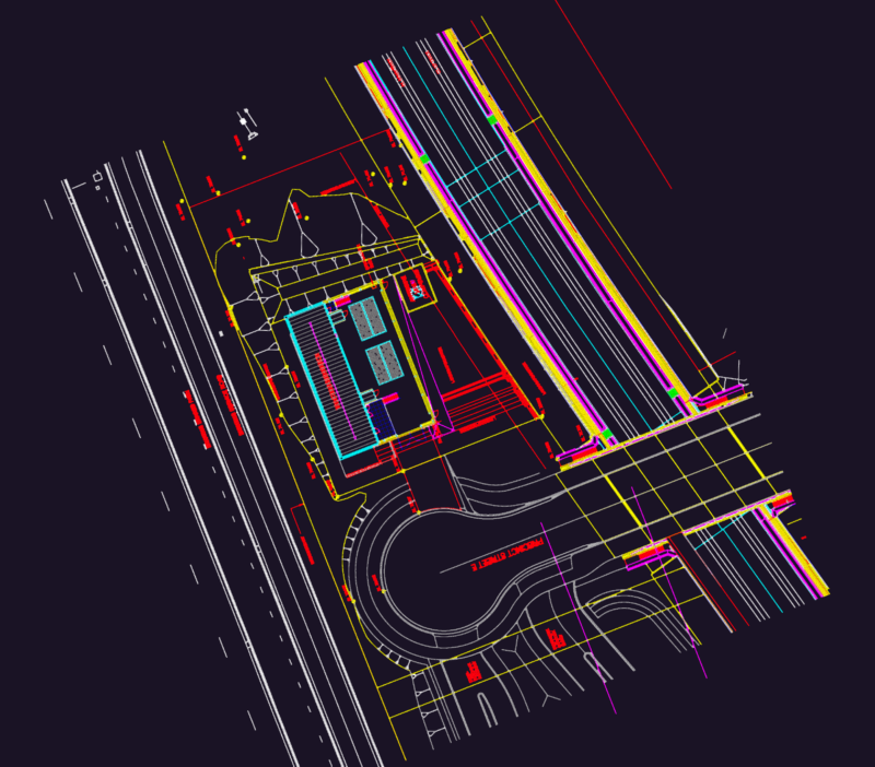
Drawing labels, details, and other text information extracted from the CAD file (Translated from Spanish):
Datum elev, yam, Pbase, Pvgrid, Pegct, Pfgct, Pegc, Pegl, Peg, Pfgc, Pgrid, Pgridt, Right, Peglt, Peg, Pdgl, Pdgr, households, Post, Master level curve, Secondary level curve, area, Water surface, legend, Vehicular track, path, Points of, Trees seedlings, Pigeons, Stone manposteria, axis, Pegct, Pvgrid, Pegct, Pfgct, Pegc, Pegl, Peg, Pfgc, Pgrid, Pgridt, Left, Peglt, Peg, Pdgl, Pdgr, Refill, concrete, Terrain profile, existing, Batter, Elastomeric polyurethane, concrete, Elastomeric polyurethane, Polyolefin foam, Tecknopor, Of contraction, Joint detail, Of dilation, Joint detail, concrete, Polyolefin foam, Primer, Progressive, Ground level, Razing quota, Type of terrain, Prog. Gate, Main channel, path, gate, Prog., gate, Prog., gate, Prog., gate, Prog., gate, Prog., gate, Prog., gate, Prog., gate, Prog., gate, Prog., gate, Prog., gate, Prog., gate, Prog., gate, Prog., gate, Prog., gate, Prog., gate, Prog., gate, Prog., gate, Prog., gate, Prog., gate, Prog., Start of stretch, Prog., End of stretch, Semi-terraced land, draft:, flat:, sheet:, Plant profile, scale:, date:, region:, district:, province:, location:, may, Irrigation channel, Longitudinal profile: esc: horizontal: esc: vertical, Plant str: horizontal:, Channel section, draft:, flat:, sheet:, Plant profile, scale:, date:, region:, district:, province:, location:, may, Irrigation channel, Longitudinal profile: esc: horizontal: esc: vertical, Plant str: horizontal:, Channel section, draft:, flat:, sheet:, Plant profile, scale:, date:, region:, district:, province:, location:, may, Irrigation channel, Longitudinal profile: esc: horizontal: esc: vertical, Plant str: horizontal:, Channel section, Management edil, mayor:, Management edil, mayor:, Management edil, mayor: