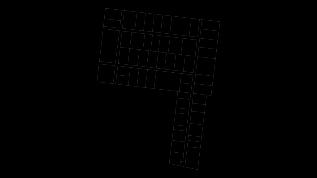
Detailed plot subdivision layout depicting multiple adjacent land parcels organized in a grid pattern. This plan shows a primary rectangular area divided into approximately 30 standardized lots with two additional sections extending from the main grid. All boundaries are precisely delineated using spline entities for accurate property demarcation. The layout follows a logical organization with larger parcels positioned along the perimeter and smaller, uniform plots arranged in the central portion. The design prioritizes efficient land utilization while maintaining access corridors between parcel groupings. Dimensions are specified in centimeters according to the drawing metadata, making this suitable for local land registry documentation.
Land Parcel Subdivision Plan with Plot Demarcation