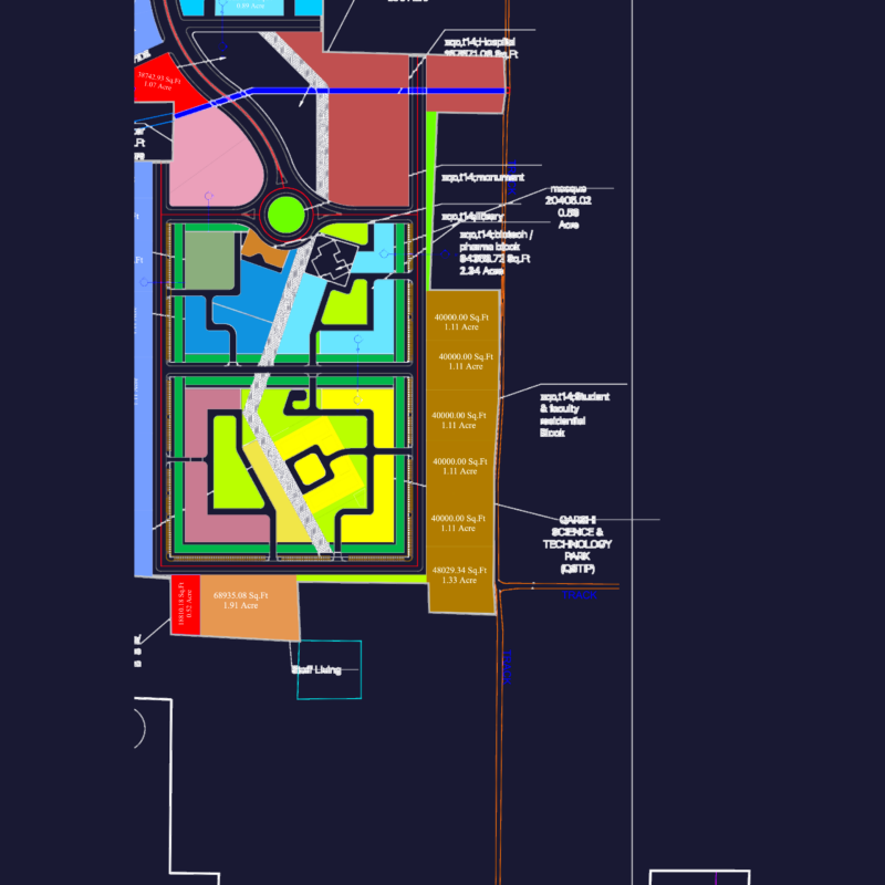
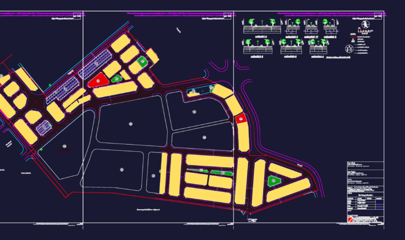
Detailed 1:500 scale land subdivision plan for a 3.5 hectare resettlement area in Huong Son Town, Phu Binh District, Thai Nguyen Province, Vietnam. The plan includes clearly demarcated residential lots ranging from 38.59m² to 224.94m², with specific lot dimensions and elevations.
Key Components:
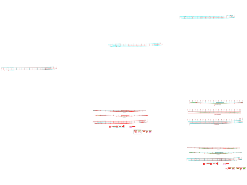
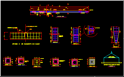
– Road network with cross-sections showing 15.5m main roads and 7.5m local roads
– Technical infrastructure including drainage channels (1m×1m)
– Land use zoning for residential areas (TDC-01 through TDC-06)
– Community facilities including kindergarten, cultural house, and commercial areas
– Green spaces designated as buffer zones and residential unit greenery
– Technical infrastructure areas including wastewater treatment
– Road alignment data with stationing information
The plan follows Vietnamese planning standards with appropriate setbacks from building lines and includes elevation data ranging from approximately 11.3m to 15.8m, essential for drainage design and earthwork calculations.