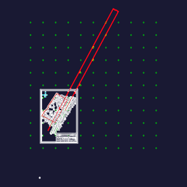
Topographic site survey at 1:500 scale with 0.5m relief contours. contains the usual utility markers, gas, water, sewer lines—along with existing road layouts and site boundaries. i’ve kept the layers organized for vegetation, buildings, and ground points… works for any site layout or planning project in the area. Топографическая съемка масштаба 1:500. Проект в Зангиотинском районе.
Topographic Survey Site Plan DWG for AutoCAD