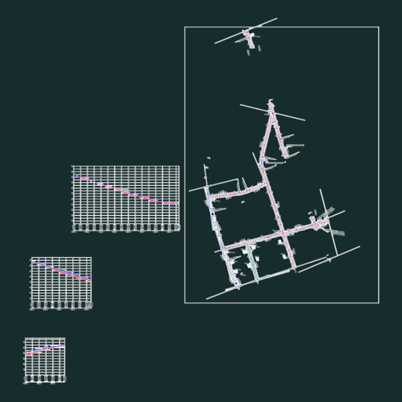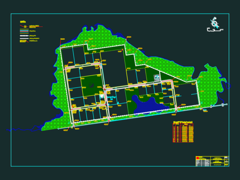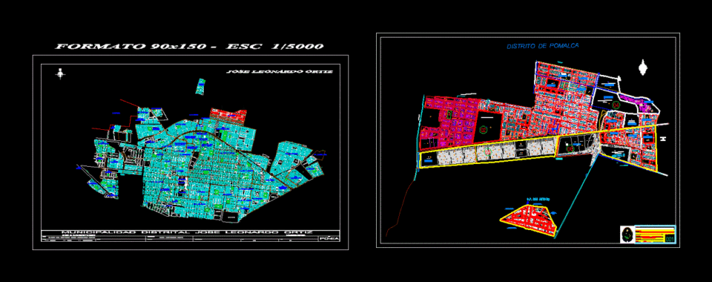
Urban planning map of the Pomalca district and Jose Leonardo Ortiz municipality in the Lambayeque region of Peru. This cartographic base update is formatted for 90×150 sheets at a scale of 1/5000.
The drawing shows the 2D layout of the city’s street network, urban blocks, and zoning divisions. Labeled thoroughfares include Av. Chiclayo, Av. Augusto B. Leguia, Av. Mexico, and Av. El Dorado. It includes neighborhood layouts for San Mateo, San Antonio, and Miraflores. Actualización de base cartográfica de Pomalca.