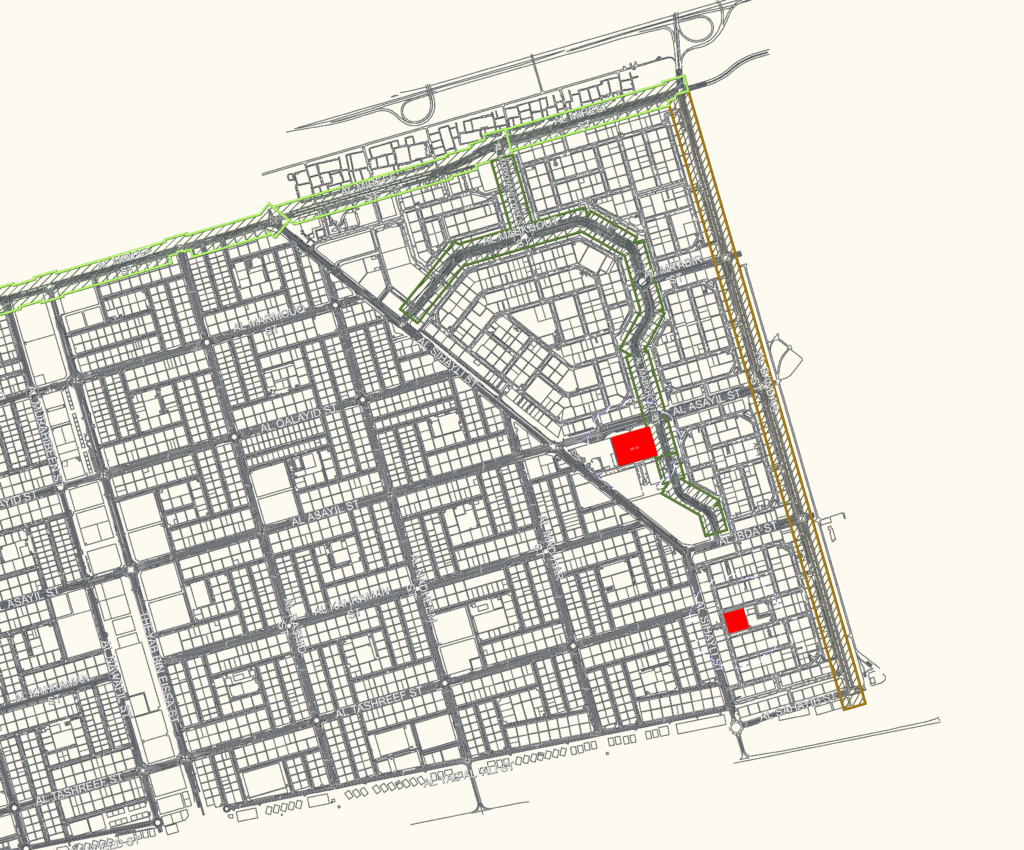
Site infrastructure layout for a large-scale urban development, specifically around the Al Mireef and Al Bandar areas. Shows the existimg road networks incl. Al Asayil St and Al Fursan St. Primary focus of this set is changing curb-side bus stops into dedicated laybys. Plot SE-43 is highlighted with specific boundary limits and match lines. We’ve included callouts for buildings, water tanks, and overall limits of contract. Matches with Zone-2 layout. Drawing is in meters. Total drawing extents cover approx 11.5km x 7km.
Road Index Plan for Al Mireef and Al Bandar Site Infrastructure