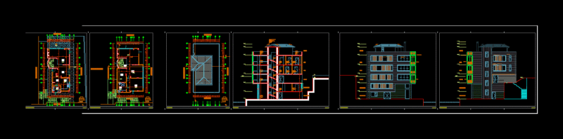
Comprehensive Site Development Documentation
This drawing set presents the topographic survey and master planning for “Urbanización La Montaña” residential development. The project encompasses approximately 46,893.63 m² of land situated in Barrio Bella Vista, along Avenida Los Proceres.
The topographic survey shows contour lines at regular intervals (approximately 5m), with elevations ranging from approximately 1575m to 1655m above sea level. The site features natural elements including existing trees (marked as “ARBOL”), a drainage channel (“ZANJON”), and utility infrastructure including electrical poles (“POSTE”). Development Components: – 37 residential parcels with areas ranging from approximately 200m² to 298m² – Internal road network with sidewalks (1.20m width) and drainage channels – Dedicated security booth (“CASILLA DE VIGILANCIA”) of 200m² – Green/recreational areas (“AREA VERDE”) – ADA-compliant pedestrian infrastructure with maximum 8% ramp grades at crossings Technical Details: – Property boundaries defined by 21 survey points (L1-L21) – Road sections showing 2% cross slopes for proper drainage – Utility infrastructure including low-tension electrical posts (“POSTES B.T.”) – Triangulation grid at 12m x 12m and 18m x 18m intervals -, basically, Landscape plan incorporating various species including Cayenas, Trinitarias, Pino de Navidad, Apamate, and fruit trees The drawings include several specialized plans: parcel layout, rooftop layout, accessibility features, road sections, and landscaping. All drawings are presented at 1:250 scale with metric units, designed for printing at 4:1 scale on 960x660mm bond paper.