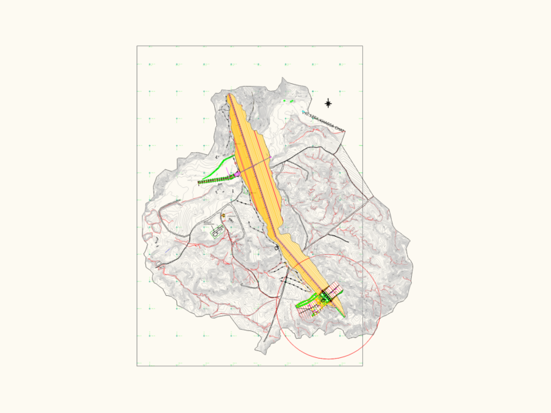
Topographic site plan featuring a real survey and suggestions for revised terrain boundaries. It maps out Lot 1 along with street alignments for R. Professor Francisco Zardo and R. Borrtolo Paulin. Includes details for curbs (meio-fio), pavement types (anti-pó) and building alignments. Area calculations are provided for specific affected zones, like the 42.85m² and 45.10m² sections. The drawing uses meters as the primary unit and includes various level markers and coordinate points.Levantamento topográfico real com sugestão de poligonal do terreno.
Topographic Site Plan with Property Boundary and Area Revision Proposals