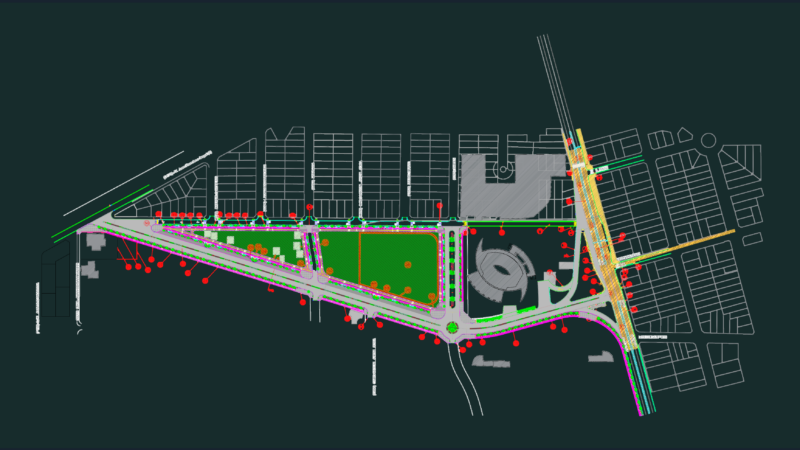
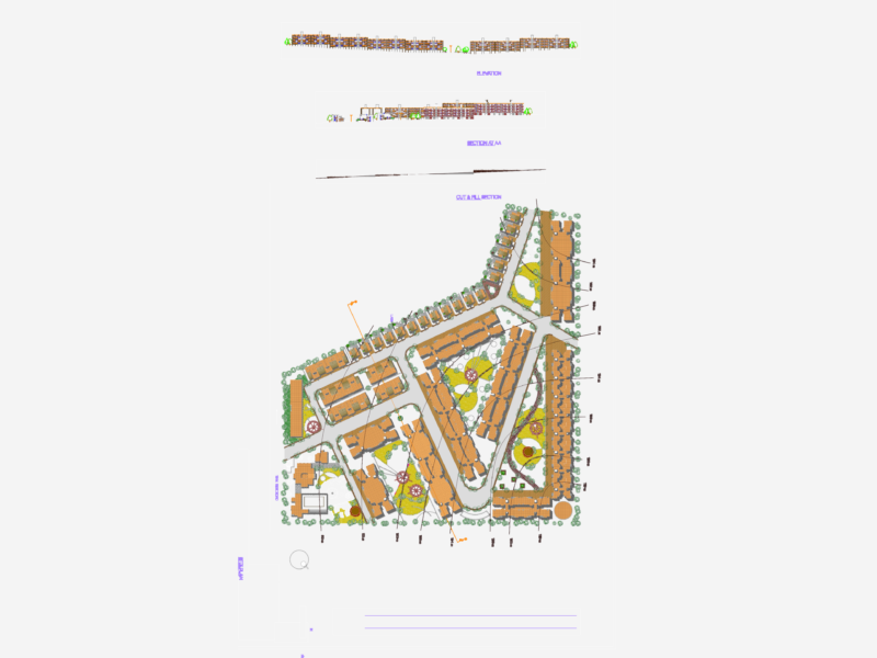
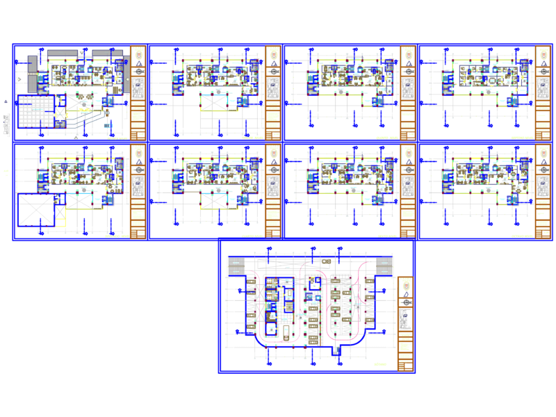
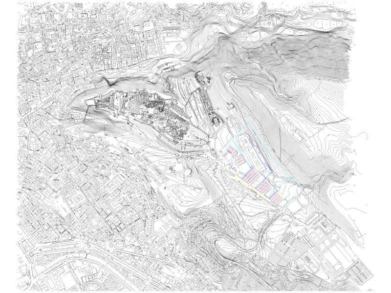
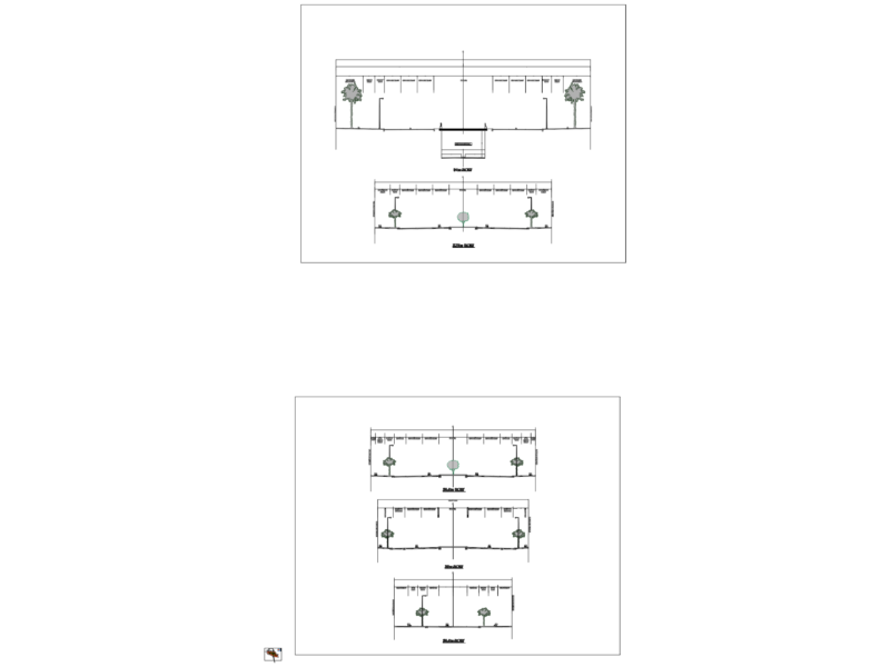
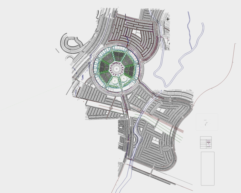
Topographical plane of Old Guatemala city – Second part of the city
Drawing labels, details, and other text information extracted from the CAD file (Translated from Spanish):
road with loose coating, planimetry, building, paved road, sidewalk, railway, built area, hydrography, ravine, pool, vegetation, trees, culture, mount low, altimetry, photogrammetric quota, index curve, intermediate curve, additional curve, Wall, channel, mb., symbology, culture, mb., scale, graphic scale, meters, national geographic institute, alfredo obiols, guatemala c.a., division of photogrammetry, Ministry of, housing infrastructure, vertical datum: average level of the sea in the port of san jose in, mercenary cross guatemala projection, horizontal datum, contours with range of meters, the linear outward marks along the marginal line correspond to spacings of meters, of the transverse guatemala grid of wgs spheroid mercator, the last two figures of the grid have been omitted, aerial photography: February fotogrametrica compilation, supported by existing cartography scale, photo compilation july, road with loose coating, bridge for pedestrians, planimetry, building, paved road, sidewalk, railway, sewer, built area, hydrography, ravine, pool, depression, Wall, channel, mb., symbology, location of the project, scale, graphic scale, ancient, location of the project, this map was prepared jointly by japan, international cooperation agency, under the japanese government technical, cooperation program and the government, of the republic of guatemala, this map was prepared jointly by japan, international cooperation agency, under the japanese government technical, cooperation program and the government, this map was digitized from orthophotos, drawn up jointly by the, international cooperation of japan, the government of the republic of guatemala, under the program of technical cooperation, government of japan., sheet, topographic map, scale, old guatemala, church, school, municipality, school, church, school, santa catarina bobadilla, villas santa catarina bobadilla, of July, monastery, santa, san pedro el alto, orotapa farm, beautiful country house, covadonga farm, san pedro las huertas, san juan del bishop, magdalena milpas, santa, church, school, church, school, church, school, church, school, ancient, farm the mines, the hill, new town, san gaspar vivar, farm illusions, farm emerald, santa clara finca, santa teresa farm, farm the corner, property santa cruz, belénto farm, farm, estate, farm panorama, country house, san ignacio farm, estate happiness, farm painting, finca colombia, san farm, estate, san becerra, san cristobal the tall, san cristobal the bass, Saint Elizabeth, Saint Ana, Katherine, of the pillar, colonial ruins, road with loose coating, planimetry, building, paved road, sidewalk, railway, built area, hydrography, ravine, pool, vegetation, trees, culture, mount low, altimetry, photogrammetric quota, index curve, intermediate curve, additional curve, Wall, channel, mb., symbology, culture, mb., scale, graphic scale, meters, vertical datum: average level of the sea in the port of san jose in, mercenary cross guatemala projection, horizontal datum, cur