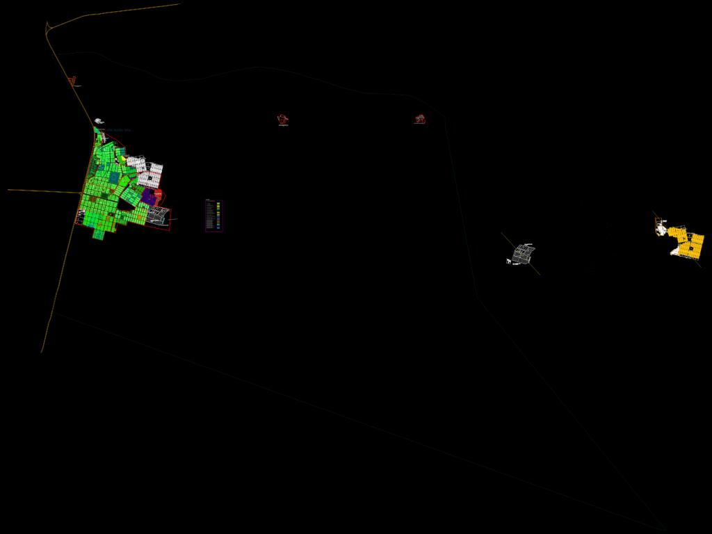
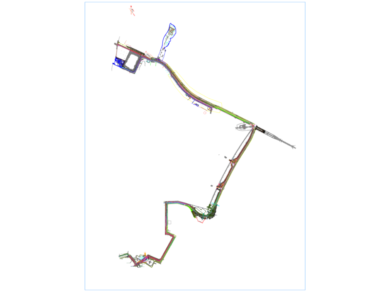
Comprehensive cadastral base map for the district of Túpac Amaru Inca. Includes detailed road networks, urban sectorization, block (manzana) coding, and individual lot perimeters for various neighborhoods (AA.HH.) across a ~140 sq km area. – Data layers: Road nomenclature, block numbering (manzanas), lot bondaries, and sector delimitation. – Specific sectors: AA.HH. Túpac Amaru II, Urb. Santa Monica, C.P. Las Lomas, Casalla, and 17 de Abril. – Administrative data: Includes Arancel 2021 coding, COFOPRI registration data, and tax assessment (Rentas) base graphics. – Units: Metric (mm). Base gráfica catastral del distrito de Túpac Amaru Inca, incluyendo redes viales, sectorización urbana y delimitación de lotes.
Túpac Amaru Inca District Cadastral Base Map and Urban Sectorization