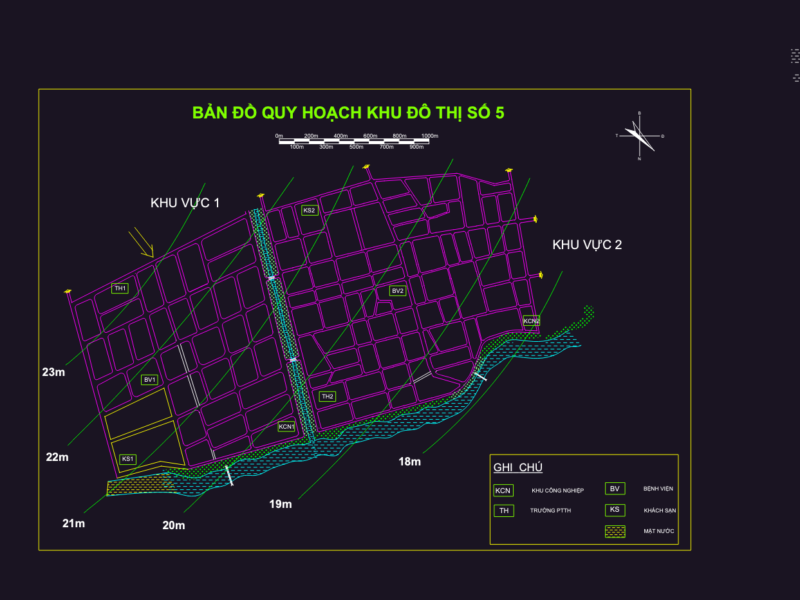
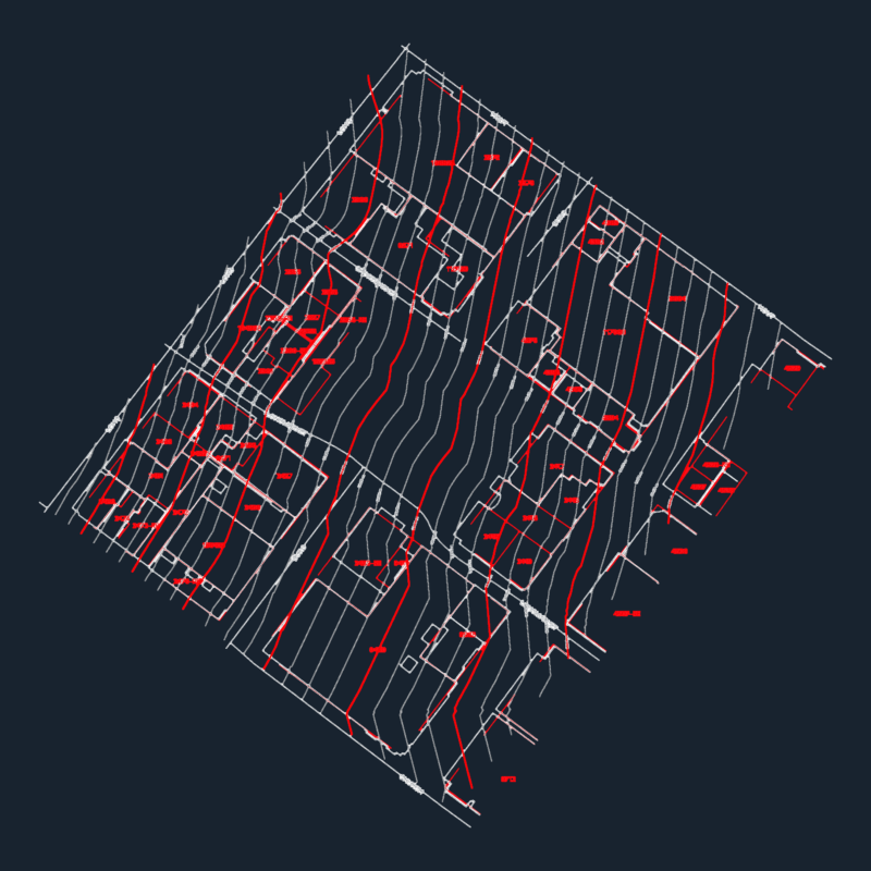
Detailed cadastral map of Chulucanas, Peru, provided as a 2D AutoCAD drawing. The plan illustrates the urban layout at a parcel level, featuring individual lot numbering, block identification, and street alignments across the city’s central and outlying districts. A coordinate grid overlay supports spatial reference for urban planning and land surveying.
The drawing contains specific designations for urban equipment, public spaces, and archaeological sites within the municipal boundary. Technical data includes property boundaries and lot-by-lot subdivisions used for formal property registration and real estate rights. It reflects the work of the Sub-componente Catastro for the PCDPI property formalization project. Mapa catastral de Chulucanas.