Designs CAD
Categories
Upload
Pricing
Blog
FAQs
0
Login
Sign Up
Home
/
Public Facilities
/
City Plans
/
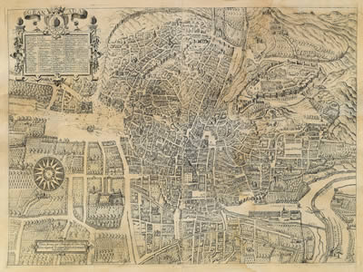
Granada Plane – Century Xvi-Xvii 2D BMP Graphics Graphics
Granada Plane – Century Xvi-Xvii 2D BMP Graphics Graphics
×
−
100%
+
Granada Plane – Century XVI-XVII- Author : Vico
PREMIUM
File Details
File Type
BMP
Type
Graphics
Language
English
Uploaded by
CAD Drawings
Category
City Plans
Published
Apr 3, 2026
Price
$3.87
or
$3.87 – Add to Cart
Checkout
Added to cart
or
get unlimited access from $7/mo
Tags
beabsicht
bmp
borough level
century
granada
graphics
plane
political map
politische landkarte
proposed urban
road design
stadtplanung
straßenplanung
urban design
urban plan
zoning
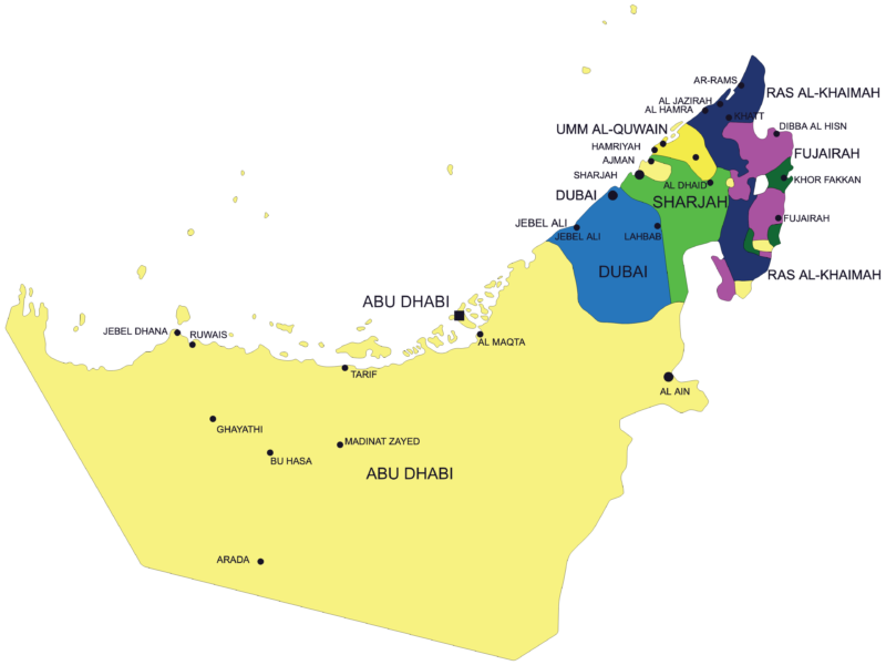
United Arab Emirates Map with Cities
FREE
Topographic Site Survey DWG Plan
FREE
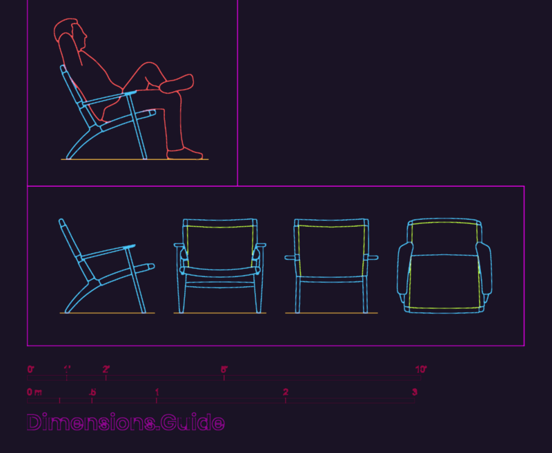
Hans Wegner CH25 Lounge Easy Chair Detail
FREE
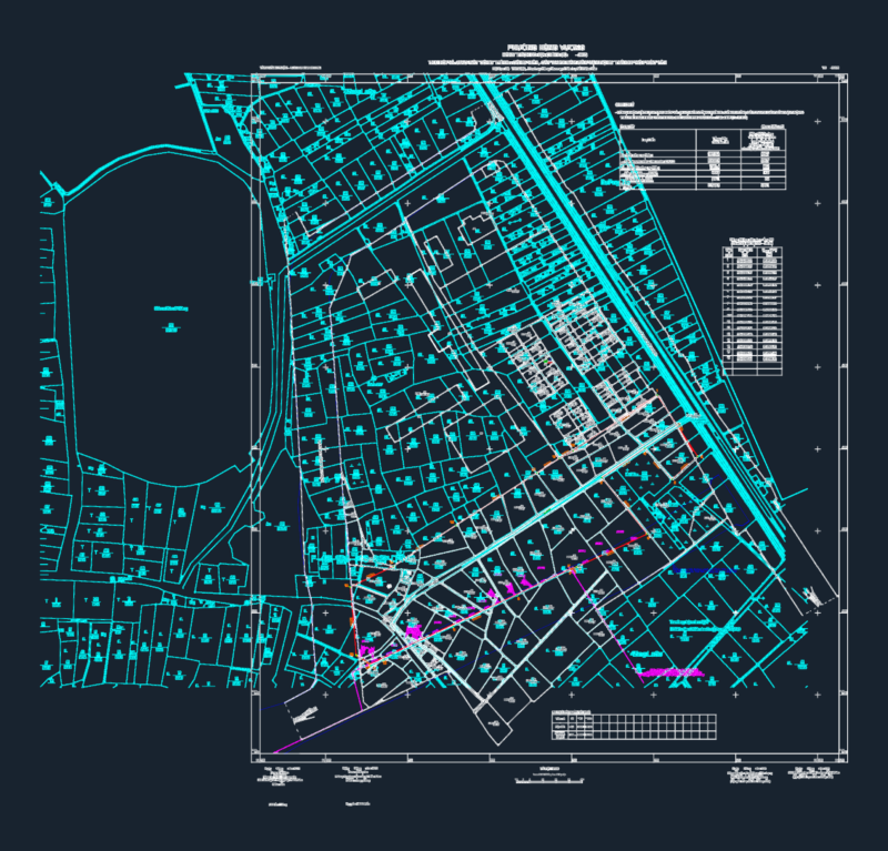
Cadastral Survey Plan for Phuc Yen City Park Project
FREE
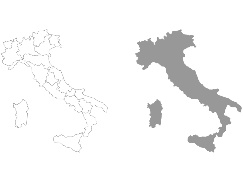
Italy Map with Regional Boundaries
FREE
DOMINO’S PIZZA Restaurant Layout & Electrical
PREMIUM
$3.87
Coastal River Delta Geographical Contour Map DWG Block
FREE
Rio de Janeiro Rua José dos Reis Site Survey
PREMIUM
$5.81
Dining Polytechnic 2D DWG Plan For AutoCAD
FREE
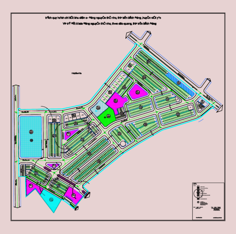
Vietnam Residential Master Plan
PREMIUM
$2.90
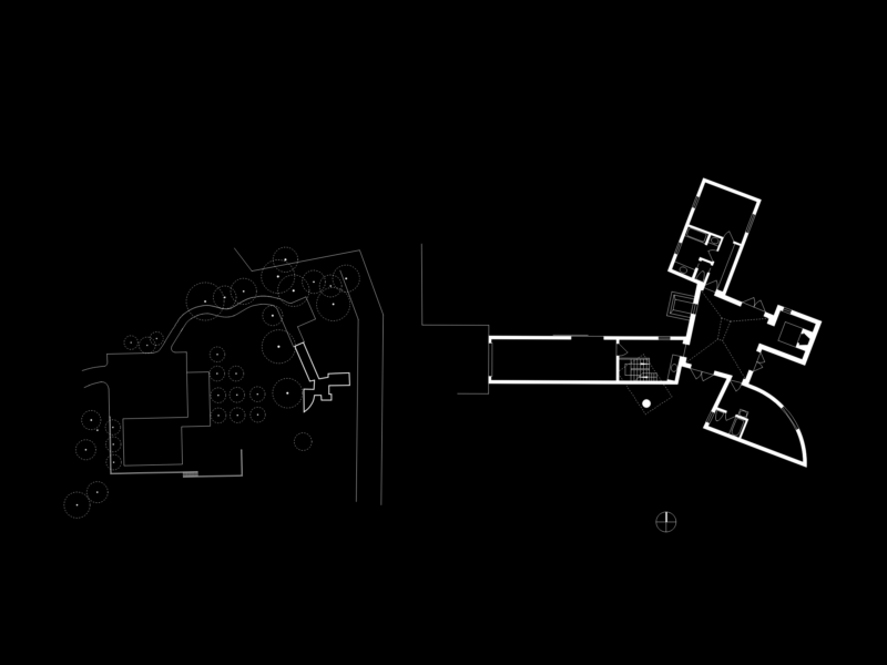
Winton Guest House by Frank Gehry Floor Plan and Site Layout
PREMIUM
$5.99
Browse All Downloads